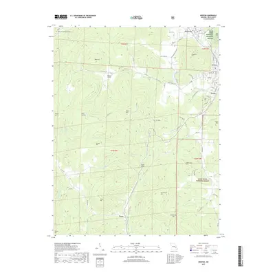
2017 Map of Ironton
USGS Topo · Published 2017About this map
The Saint Francois Mountains dominate this landscape, where the neighboring valley towns of Ironton, Arcadia, and Pilot Knob cluster amidst a collection of peaks. The terrain is marked by significant elevation changes, from the heights of Taum Sauk Mtn and Shepherd Mtn to the narrow passage of Royal Gorge. This area serves as a gateway to the Mark Twain National Forest and includes the Pilot Knob National Wildlife Refuge to the north.
Find a feature on this map
86 named features on this map. Tap any name to fly to it.
Don’t see what you’re looking for? This feature index may not catch every label — zoom into the map to look around manually.
Map Details
Editions of this 2017 Ironton Map
This is the sole edition of this map. No revisions or reprints were ever made.
Other maps of this area

1924 · Edgehill
USGS Topo · 1:62,500

1926 · Edgehill
USGS Topo · 1:62,500

1926 · Des Arc
USGS Topo · 1:62,500

1929 · Des Arc
USGS Topo · 1:62,500

1937 · Ironton
USGS Topo · 1:48,000

1943 · Lesterville
USGS Topo · 1:62,500

1945 · Ironton
USGS Topo · 1:62,500

1946 · Lesterville
USGS Topo · 1:62,500

1946 · Ironton
USGS Topo · 1:62,500

1949 · Rolla
USGS Topo · 1:250,000