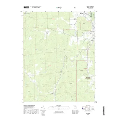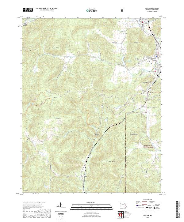
2021 Map of Ironton
USGS Topo · Published 2021About this map
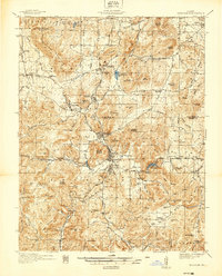
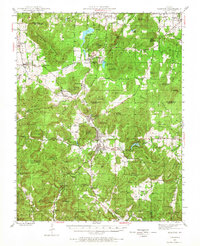
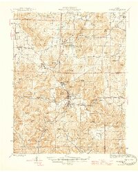
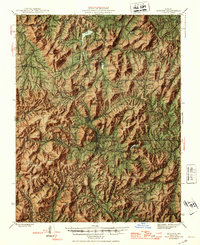
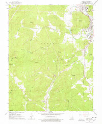
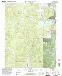
Saint Francois Mountains define the high-relief landscape of this region, where the clustered settlements of Ironton, Arcadia, and Pilot Knob sit at the northern edge of a dense network of peaks and hollows. The Iron County Courthouse serves as the civic center for these communities, which are flanked by the Pilot Knob National Wildlife Refuge and the eastern reaches of the Mark Twain National Forest. The map documents significant local elevation, rising from the valley floor to the summit of Taum Sauk Mtn and Victory Mtn.
Find a feature on this map
84 named features on this map. Tap any name to fly to it.
Don’t see what you’re looking for? This feature index may not catch every label — zoom into the map to look around manually.
Map Details
Editions of this 2021 Ironton Map
This is the sole edition of this map. No revisions or reprints were ever made.
Historical Maps of Ironton Through Time
10 maps found