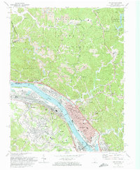
1972 Map of Ironton
USGS Topo · Published 1974About this map
Industrial and rural landscapes converge along the Ohio River in this early 1970s study of the Ironton corridor. The region's deep roots in the iron industry are evidenced by the Vesuvius Furnace (Ruins) near Lake Vesuvius and several Strip Mine operations scattered through the Wayne National Forest uplands. The riverfront is dominated by the sprawling infrastructure of the Chesapeake and Ohio and Norfolk and Western railroads, which service the riverside settlements of Russell, Hanging Rock, and Coal Grove.
Find a feature on this map
111 named features on this map. Tap any name to fly to it.
Don’t see what you’re looking for? This feature index may not catch every label — zoom into the map to look around manually.
Map Details
Editions of this 1972 Ironton Map
4 editions found
Other maps of this area

1898 · Ironton
USGS Topo · 1:62,500

1900 · Ironton
USGS Topo · 1:62,500

1901 · Ceredo
USGS Topo · 1:62,500

1903 · Kenova
USGS Topo · 1:125,000

1904 · Kenova
USGS Topo · 1:125,000

1913 · Ceredo
USGS Topo · 1:62,500

1926 · Greenup
USGS Topo · 1:48,000

1930 · Greenup
USGS Topo · 1:62,500
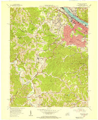
1953 · Ashland
USGS Topo · 1:24,000

1953 · Greenup
USGS Topo · 1:24,000