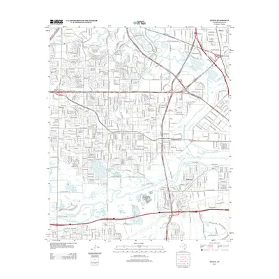
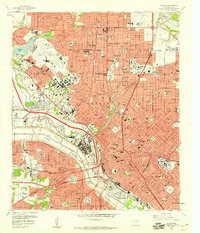
2012 Map of Irving
USGS Topo · Published 2012About this map
The Elm Fork Trinity River and W Fork Trinity River converge here, framing a landscape of massive infrastructure and rapid urbanization between Dallas and Fort Worth. The historic settlement of Sowers remains visible as a pocket of local history amidst the sprawling highway networks of W Airport Fwy and E John Carpenter Fwy. This area is a significant site for genealogists and researchers, featuring several distinct burial grounds including Sowers Cem, Smith Cem, and the Dallas City Cem. The presence of the Univ Of Dallas and the Central Regional Wastewater System illustrates the mid-century evolution of the region into a complex academic and industrial hub. Numerous water bodies such as Vilbig Lakes, Spring Lake, and the recreational Lake Carolyn dot the terrain, reflecting the modern management of the river's floodplains.
Find a feature on this map
40 named features on this map. Tap any name to fly to it.
Don’t see what you’re looking for? This feature index may not catch every label — zoom into the map to look around manually.
Map Details
Editions of this 2012 Irving Map
This is the sole edition of this map. No revisions or reprints were ever made.
Other maps of this area
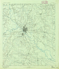
1891 · Dallas
USGS Topo · 1:125,000
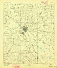
1893 · Dallas
USGS Topo · 1:125,000
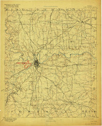
1894 · Fort Worth
USGS Topo · 1:125,000
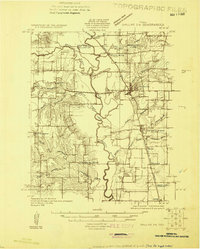
1925 · Dallas 2-b
USGS Topo · 1:48,000
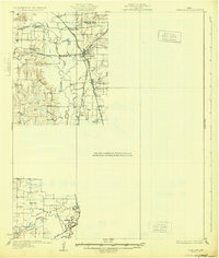
1931 · Carrollton
USGS Topo · 1:62,500
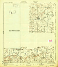
1931 · Grapevine
USGS Topo · 1:62,500

1954 · Dallas
USGS Topo · 1:250,000

1958 · Dallas
USGS Topo · 1:250,000
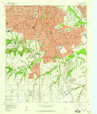
1958 · Oak Cliff
USGS Topo · 1:24,000
1958 · Dallas
USGS Topo · 1:24,000