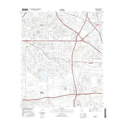
2016 Map of Irving
USGS Topo · Published 2016About this map
The confluence of the West Fork Trinity River and the Elm Fork Trinity River anchors this urban corridor between Irving, Dallas, and Grand Prairie. The landscape is a dense network of residential streets and industrial zones, punctuated by significant water features like Las Colinas Reservoir Number 7, Lake Carolyn, and the Vilbig Lakes. Historic burial sites are preserved throughout the metropolitan sprawl, including Sowers Cem, Smith Cem, and the Oak Grove Memorial Park.
Find a feature on this map
426 named features on this map. Tap any name to fly to it.
Don’t see what you’re looking for? This feature index may not catch every label — zoom into the map to look around manually.
Map Details
Editions of this 2016 Irving Map
This is the sole edition of this map. No revisions or reprints were ever made.
Other maps of this area
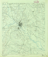
1891 · Dallas
USGS Topo · 1:125,000
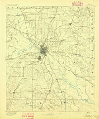
1893 · Dallas
USGS Topo · 1:125,000
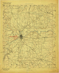
1894 · Fort Worth
USGS Topo · 1:125,000
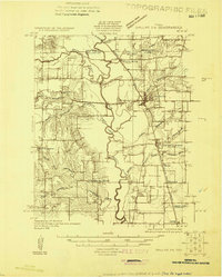
1925 · Dallas 2-b
USGS Topo · 1:48,000
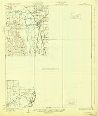
1931 · Carrollton
USGS Topo · 1:62,500
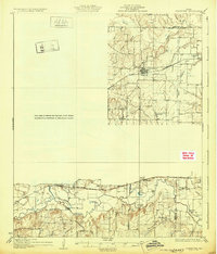
1931 · Grapevine
USGS Topo · 1:62,500

1954 · Dallas
USGS Topo · 1:250,000

1958 · Dallas
USGS Topo · 1:250,000
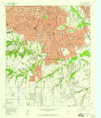
1958 · Oak Cliff
USGS Topo · 1:24,000
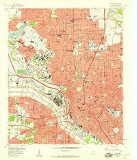
1958 · Dallas
USGS Topo · 1:24,000