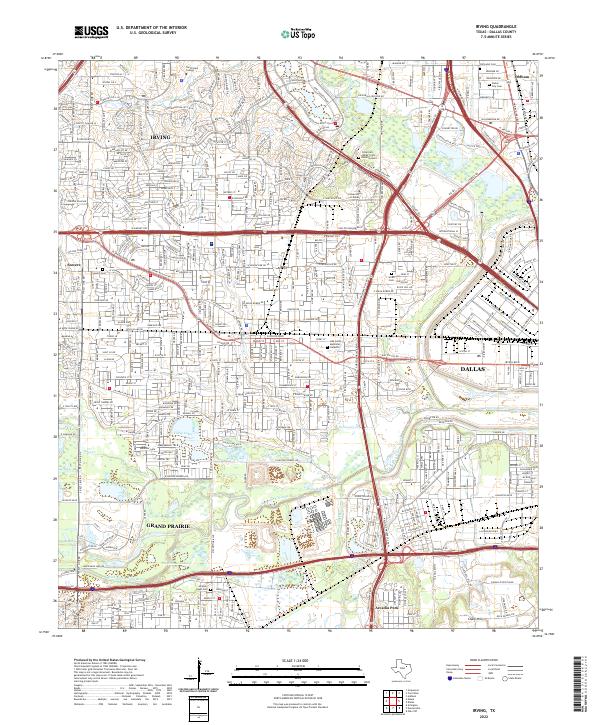
2022 Map of Irving
USGS Topo · Published 2022About this map
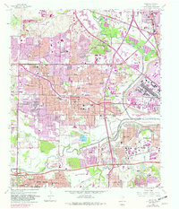
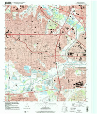
The Elm Fork Trinity River and West Fork Trinity River converge near the heart of this urban corridor, defining the low-lying geography between Irving, Grand Prairie, and west Dallas. The landscape is a dense network of transit and industry, featuring the extensive W Airport Fwy and W Irving Blvd corridors. Pockets of preserved history remain amidst the development, including the Sowers Cem in the old Sowers area and the Jordan-Hight Cem further south. Educational institutions like North Lake College and the University of Dallas occupy significant acreage, while the Cistercian Abbey Crypt Burial Ground provides a unique local landmark. The southern portion of the map is dominated by the industrial and water-management features of Vilbig Lakes and the reclaimed terrain near Chalk Hill, illustrating the intensive transformation of the Trinity River basin.
Find a feature on this map
176 named features on this map. Tap any name to fly to it.
Don’t see what you’re looking for? This feature index may not catch every label — zoom into the map to look around manually.
Map Details
Editions of this 2022 Irving Map
This is the sole edition of this map. No revisions or reprints were ever made.