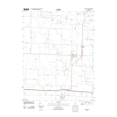
2012 Map of Irvington
USGS Topo · Published 2012About this map
Irvington serves as the central hub of this Southern Illinois landscape, where the intersection of local roads and rail history meets an active industrial presence. The geography is defined by a series of productive petroleum zones, including the Irvington Oil Field, Richview Oil Field, and the Irvington North Oil Field to the north. These fields are dispersed across a terrain drained by Grand Point Cr and Webster Cr, showing the persistent connection between the region's natural waterways and its subsurface resources. Small crossroads settlements like Alda and Noltings provide evidence of historical local development outside the primary villages. For those researching family history, several burial grounds are documented, such as Harres Cem, Irvington Cem, and Grand Point Cem, often located near the small creek branches that crisscross the agricultural plots.
Find a feature on this map
95 named features on this map. Tap any name to fly to it.
Don’t see what you’re looking for? This feature index may not catch every label — zoom into the map to look around manually.
Map Details
Editions of this 2012 Irvington Map
This is the sole edition of this map. No revisions or reprints were ever made.
Other maps of this area

1910 · Carlyle
USGS Topo · 1:62,500

1914 · Centralia
USGS Topo · 1:62,500

1931 · Hoyleton
USGS Topo · 1:48,000

1932 · Nashville
USGS Topo · 1:62,500

1935 · Centralia
USGS Topo · 1:62,500

1936 · Nashville
USGS Topo · 1:62,500

1943 · Ashley
USGS Topo · 1:62,500

1946 · Ashley
USGS Topo · 1:62,500

1948 · Carlyle
USGS Topo · 1:62,500

1958 · Belleville
USGS Topo · 1:250,000