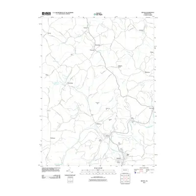
2010 Map of Irvona
USGS Topo · Published 2010About this map
Clearfield Creek winds through this section of the Allegheny Plateau, anchoring a network of small settlements and coal-era hamlets. The borough of Irvona and adjacent Blain City serve as the primary hubs, where the convergence of Clearfield Creek, DeWitt Run, and Pine Run dictated early town placement. Several religious landmarks and burial grounds, such as Saint Michaels Cemetery, Saint Pauls Cemetery, and Saint Basil Cemetery, are clustered near these population centers, providing valuable data for genealogical research.
Find a feature on this map
91 named features on this map. Tap any name to fly to it.
Don’t see what you’re looking for? This feature index may not catch every label — zoom into the map to look around manually.
Map Details
Editions of this 2010 Irvona Map
This is the sole edition of this map. No revisions or reprints were ever made.
Other maps of this area

1902 · Patton
USGS Topo · 1:62,500

1903 · Curwensville
USGS Topo · 1:62,500

1903 · Houtzdale
USGS Topo · 1:62,500

1904 · Patton
USGS Topo · 1:62,500

1905 · Houtzdale
USGS Topo · 1:62,500

1920 · Altoona
USGS Topo · 1:62,500

1922 · Altoona
USGS Topo · 1:62,500

1939 · Curwensville
USGS Topo · 1:62,500

1942 · Curwensville
USGS Topo · 1:62,500

1943 · Punxsutawney
USGS Topo · 1:125,000