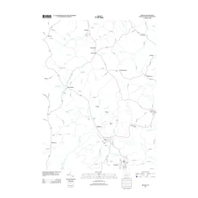
2013 Map of Irvona
USGS Topo · Published 2013About this map
Clearfield Creek winds through the heart of this landscape, anchoring a network of small coal-era settlements and agricultural homesteads. The dense cluster of Irvona, Blain City, and Rosebud in the south illustrates the late-industrial development of Beccaria Township, where residential streets meet the water's edge. This area is characterized by numerous small watercourses like Potts Run and Hockenberry Run, which flow from named peaks such as Singleton Hill and Dickerman Hill.
Find a feature on this map
120 named features on this map. Tap any name to fly to it.
Don’t see what you’re looking for? This feature index may not catch every label — zoom into the map to look around manually.
Map Details
Editions of this 2013 Irvona Map
This is the sole edition of this map. No revisions or reprints were ever made.
Other maps of this area

1902 · Patton
USGS Topo · 1:62,500

1903 · Curwensville
USGS Topo · 1:62,500

1903 · Houtzdale
USGS Topo · 1:62,500

1904 · Patton
USGS Topo · 1:62,500

1905 · Houtzdale
USGS Topo · 1:62,500

1920 · Altoona
USGS Topo · 1:62,500

1922 · Altoona
USGS Topo · 1:62,500

1939 · Curwensville
USGS Topo · 1:62,500

1942 · Curwensville
USGS Topo · 1:62,500

1943 · Punxsutawney
USGS Topo · 1:125,000