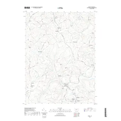
2019 Map of Irvona
USGS Topo · Published 2019About this map
Irvona and the adjacent community of Coalport anchor the southern reaches of this Clearfield County survey, where Clearfield Creek winds through a landscape defined by its mining and rural heritage. The map documents a dense network of small settlements such as Berwinsdale, Ansonville, and Gazzam, many of which grew around the regional coal industry. Local genealogy is well-served by numerous detailed landmarks, including Saint Michaels Cem and Saint Pauls Cem near the town centers, as well as more secluded sites like McPherron Church Cem and Zion Cem.
Find a feature on this map
106 named features on this map. Tap any name to fly to it.
Don’t see what you’re looking for? This feature index may not catch every label — zoom into the map to look around manually.
Map Details
Editions of this 2019 Irvona Map
This is the sole edition of this map. No revisions or reprints were ever made.
Other maps of this area

1902 · Patton
USGS Topo · 1:62,500

1903 · Curwensville
USGS Topo · 1:62,500

1903 · Houtzdale
USGS Topo · 1:62,500

1904 · Patton
USGS Topo · 1:62,500

1905 · Houtzdale
USGS Topo · 1:62,500

1920 · Altoona
USGS Topo · 1:62,500

1922 · Altoona
USGS Topo · 1:62,500

1939 · Curwensville
USGS Topo · 1:62,500

1942 · Curwensville
USGS Topo · 1:62,500

1943 · Punxsutawney
USGS Topo · 1:125,000