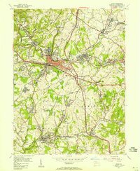
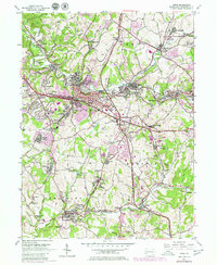
1953 Map of Irwin
USGS Topo · Published 1955About this map
North Huntingdon and Sewickley townships are defined here by a landscape undergoing significant industrial and residential shifts in the early 1950s. The dominance of the Pennsylvania railroad and the Pennsylvania Turnpike illustrates the area's role as a vital transportation corridor, while numerous Strip Mines and Mine Dumps near Wendel and Darragh signal the persistent legacy of bituminous coal mining. Local history and genealogy are anchored by landmarks like the Bushy Run Battlefield State Park and the Old Quaker Cem (Historical). The map details established settlements such as Irwin and Herminie, alongside smaller mining patches like Edna No 1 and Edna No 2. From the Irwin Airport to the Braddocks Camp Historical Marker, the survey captures a specific Westmoreland County topography where rural legacy meets industrial utility.
Find a feature on this map
78 named features on this map. Tap any name to fly to it.
Don’t see what you’re looking for? This feature index may not catch every label — zoom into the map to look around manually.
Map Details
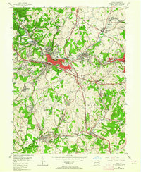
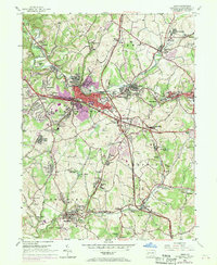
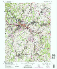
Editions of this 1953 Irwin Map
5 editions found
Other maps of this area

1902 · Brownsville
USGS Topo · 1:62,500

1902 · Connellsville
USGS Topo · 1:62,500

1904 · Mc Keesport
USGS Topo · 1:62,500

1904 · Greensburg
USGS Topo · 1:62,500

1906 · Brownsville
USGS Topo · 1:62,500

1906 · Greensburg
USGS Topo · 1:62,500

1907 · Pittsburg
USGS Topo · 1:62,500

1931 · Brownsville
USGS Topo · 1:62,500

1931 · Connellsville
USGS Topo · 1:62,500

1933 · Brownsville
USGS Topo · 1:62,500