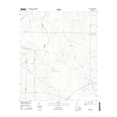
2014 Map of Irwinville
USGS Topo · Published 2014About this map
Irwinville and the surrounding coastal plain of south-central Georgia are defined by a complex network of ponds, lakes, and the winding course of the Alapaha River. This 2014 survey documents the rural character of the region, where the landscape is dotted with family-named water bodies like Oneal Wynn Lake and Clements Lake. The presence of Turner Lake Ford and Walker Ford along the river highlights a traditional reliance on established crossing points in an area dominated by wetlands and creeks.
Find a feature on this map
106 named features on this map. Tap any name to fly to it.
Don’t see what you’re looking for? This feature index may not catch every label — zoom into the map to look around manually.
Map Details
Editions of this 2014 Irwinville Map
This is the sole edition of this map. No revisions or reprints were ever made.
Other maps of this area

1953 · Waycross
USGS Topo · 1:250,000

1958 · Waycross
USGS Topo · 1:250,000

1973 · Ocilla West
USGS Topo · 1:24,000

1973 · Waterloo
USGS Topo · 1:24,000

1973 · Irwinville
USGS Topo · 1:24,000

1973 · Chula
USGS Topo · 1:24,000

1973 · Bethel
USGS Topo · 1:24,000

1973 · Fitzgerald West
USGS Topo · 1:24,000

1974 · Rebecca
USGS Topo · 1:24,000

1974 · Amboy
USGS Topo · 1:24,000