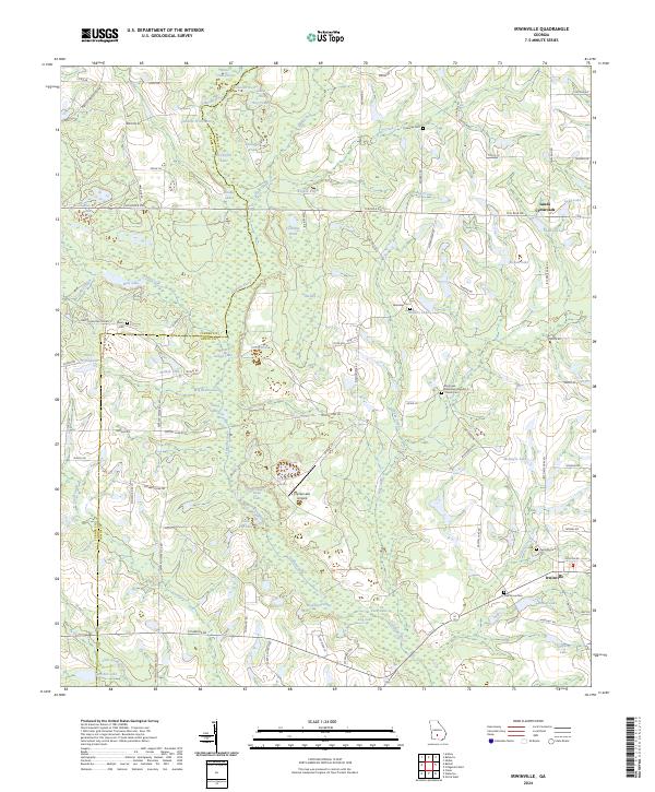
2024 Map of Irwinville
USGS Topo · Published 2024About this map
The Alapaha River serves as the central spine of this landscape, its winding course defining the boundary between Turner and Irwin counties. South of the river's path, the settlement of Irwinville stands as a focal point, characterized by its grid of local roads and the nearby Irwinville Cem. The surrounding terrain is heavily dotted with family-named water bodies and agricultural ponds, including Sams Hole, Boykin Ponds, and Roberts Lake. This abundance of surface water and wetlands highlights the rural, low-lying character of the Georgia coastal plain.
Find a feature on this map
106 named features on this map. Tap any name to fly to it.
Don’t see what you’re looking for? This feature index may not catch every label — zoom into the map to look around manually.
Map Details
Editions of this 2024 Irwinville Map
This is the sole edition of this map. No revisions or reprints were ever made.
Other maps of this area

1953 · Waycross
USGS Topo · 1:250,000

1958 · Waycross
USGS Topo · 1:250,000

1973 · Ocilla West
USGS Topo · 1:24,000

1973 · Waterloo
USGS Topo · 1:24,000

1973 · Irwinville
USGS Topo · 1:24,000

1973 · Chula
USGS Topo · 1:24,000

1973 · Bethel
USGS Topo · 1:24,000

1973 · Fitzgerald West
USGS Topo · 1:24,000

1974 · Rebecca
USGS Topo · 1:24,000

1974 · Amboy
USGS Topo · 1:24,000