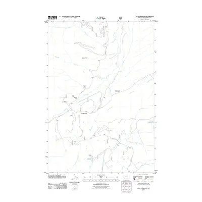
2011 Map of Isaac Meadows
USGS Topo · Published 2011About this map
Isaac Meadows and the surrounding high-country watersheds of Beaverhead County define this landscape, where the headwaters of the Big Hole River system begin their descent. Small-scale mining and ranching legacies are visible through features like the Moose Horn Mine and the eponymous One Thousand One Hundred Twenty Ranch. Water management is central to this environment, evidenced by the Schultz Dam and Schultz Reservoir, which regulate the flow of Holland Creek as it joins Moose Creek. The network of drainages, including Ruby Creek and Sawpit Creek, reflects a long history of riparian land use in southwestern Montana. Access to these remote drainages is provided by the Gibbonsville Rd and Foothills Rd, which navigate the base of Badger Ridge and pass through various gulches like Portal Gulch and Wenger Gulch.
Find a feature on this map
23 named features on this map. Tap any name to fly to it.
Don’t see what you’re looking for? This feature index may not catch every label — zoom into the map to look around manually.
Map Details
Editions of this 2011 Isaac Meadows Map
This is the sole edition of this map. No revisions or reprints were ever made.
Other maps of this area

1955 · Dillon
USGS Topo · 1:250,000

1957 · Dillon
USGS Topo · 1:250,000

1958 · Dillon
USGS Topo · 1:250,000

1962 · Dillon
USGS Topo · 1:250,000
1965 · Dillon
USGS Topo · 1:250,000
1966 · Gibbons School
USGS Topo · 1:24,000
1966 · Shewag Lake
USGS Topo · 1:24,000
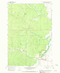
1966 · Big Hole Battlefield
USGS Topo · 1:24,000
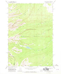
1966 · Jumbo Mountain
USGS Topo · 1:24,000
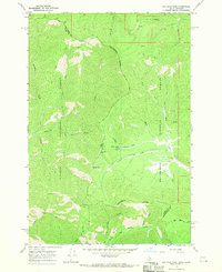
1966 · Big Hole Pass
USGS Topo · 1:24,000