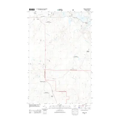
2013 Map of Isabella
USGS Topo · Published 2013About this map
Superior National Forest defines the character of this Lake County landscape, where the settlement of Isabella serves as a primary waypoint along State Hwy 1. The map documents a dense network of water bodies and drainage systems, including the Little Isabella River and the headwaters of the Manitou River. Significant recreation and local landmarks are concentrated in the northern section, such as the Dumbbell Lake Picnic Area and the Isabella Memorial Cem.
Find a feature on this map
27 named features on this map. Tap any name to fly to it.
Don’t see what you’re looking for? This feature index may not catch every label — zoom into the map to look around manually.
Map Details
Editions of this 2013 Isabella Map
This is the sole edition of this map. No revisions or reprints were ever made.
Other maps of this area
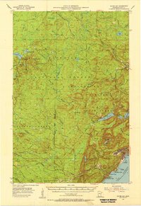
1954 · Silver Bay
USGS Topo · 1:62,500
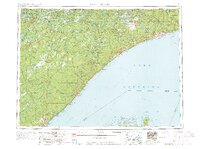
1954 · Two Harbors
USGS Topo · 1:250,000
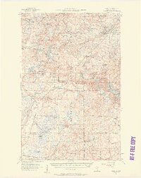
1955 · Isabella
USGS Topo · 1:62,500
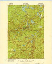
1955 · Cramer
USGS Topo · 1:62,500
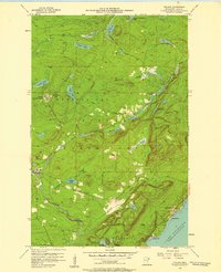
1956 · Finland
USGS Topo · 1:24,000
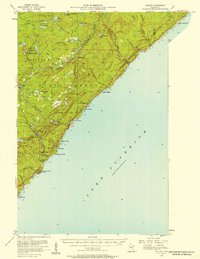
1956 · Finland
USGS Topo · 1:62,500
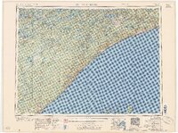
1957 · Two Harbors
USGS Topo · 1:250,000
1958 · Two Harbors
USGS Topo · 1:250,000
1964 · Two Harbors
USGS Topo · 1:250,000
1976 · Two Harbors
USGS Topo · 1:100,000