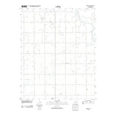
2009 Map of Isabella
USGS Topo · Published 2009About this map
The Cimarron River winds through the northeastern corner of this Oklahoma landscape, defining a sharp contrast to the rigid section-line road grid that dominates the rest of the region. The northern edge of Okeene appears at the southern margin, while the surrounding countryside is dotted with small, family and community burial grounds that offer significant value for genealogical research. These include Isabella Cemetery, Bierig Cemetery, Calvary Cemetery, and Collins Cemetery, which are spaced across the rural sections. The drainage system is defined by several seasonal waterways, including Deep Creek, Sand Creek, and Elm Creek, which cut across the surveyed townships. This map shows a deeply traditional Great Plains land use pattern, where the infrastructure of rural life is organized around a highly regular network of roads such as n2600 RD and e0540 RD.
Find a feature on this map
25 named features on this map. Tap any name to fly to it.
Don’t see what you’re looking for? This feature index may not catch every label — zoom into the map to look around manually.
Map Details
Editions of this 2009 Isabella Map
This is the sole edition of this map. No revisions or reprints were ever made.
Other maps of this area

1893 · Ames
USGS Topo · 1:62,500

1955 · Woodward
USGS Topo · 1:250,000

1956 · Ames
USGS Topo · 1:62,500

1956 · Ringwood
USGS Topo · 1:62,500

1958 · Woodward
USGS Topo · 1:250,000

1969 · Fairview SE
USGS Topo · 1:24,000

1969 · Fairview
USGS Topo · 1:24,000

1972 · Southard
USGS Topo · 1:24,000

1972 · Okeene
USGS Topo · 1:24,000

1972 · Homestead
USGS Topo · 1:24,000