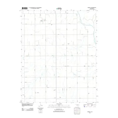
2012 Map of Isabella
USGS Topo · Published 2012About this map
Isabella sits in the northwestern corner of this Oklahoma landscape, defined by a rigid section-line road grid and the meandering path of the Cimarron River to the east. This early 21st-century survey of Major County reveals a rural environment where small settlements like Piper and isolated family or community burial grounds serve as the primary landmarks. The presence of numerous cemeteries, including Isabella Cem, Americus Cem, Bierig Cem, Calvary Cem, and Collins Cem, suggests a long-established agricultural population whose genealogy is etched into the township. The hydrology of the area is shaped by several drainage systems, with Deep Cr, Elm Cr, and Sand Cr cutting across the survey blocks, influencing the placement of the section roads and providing a glimpse into the natural drainage patterns of the region.
Find a feature on this map
35 named features on this map. Tap any name to fly to it.
Don’t see what you’re looking for? This feature index may not catch every label — zoom into the map to look around manually.
Map Details
Editions of this 2012 Isabella Map
This is the sole edition of this map. No revisions or reprints were ever made.
Other maps of this area

1893 · Ames
USGS Topo · 1:62,500

1955 · Woodward
USGS Topo · 1:250,000

1956 · Ames
USGS Topo · 1:62,500

1956 · Ringwood
USGS Topo · 1:62,500

1958 · Woodward
USGS Topo · 1:250,000

1969 · Fairview SE
USGS Topo · 1:24,000

1969 · Fairview
USGS Topo · 1:24,000

1972 · Southard
USGS Topo · 1:24,000

1972 · Okeene
USGS Topo · 1:24,000

1972 · Homestead
USGS Topo · 1:24,000