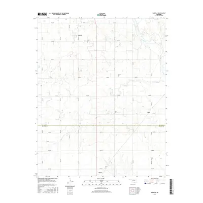
2016 Map of Isabella
USGS Topo · Published 2016About this map
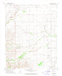
The Major and Blaine County line bisects this agricultural landscape, where the northern plains of Oklahoma meet the meandering Cimarron River. The settlement of Isabella serves as a local anchor near the northern edge, while the northernmost outskirts of Okeene appear at the southern margin. This survey captures a rural territory defined by a rigorous grid of section-line roads, including e0530 RD and e0610 RD, which facilitate movement between scattered farmsteads and small communities like Piper. Genealogists will find significant value in the distribution of family and community burial grounds, such as Americus Cem, Bierig Cem, and Collins Cem. The terrain is drained by a network of seasonal watercourses including Deep Cr, Sand Cr, and Elm Cr, which cut through the land toward the river basin. West of the central grid, Ewing Lake stands as a notable water feature in an otherwise dry, cultivated expanse.
Find a feature on this map
23 named features on this map. Tap any name to fly to it.
Don’t see what you’re looking for? This feature index may not catch every label — zoom into the map to look around manually.
Map Details
Editions of this 2016 Isabella Map
This is the sole edition of this map. No revisions or reprints were ever made.
Other maps of this area
1893 · Ames
USGS Topo · 1:62,500

1955 · Woodward
USGS Topo · 1:250,000
1956 · Ames
USGS Topo · 1:62,500
1956 · Ringwood
USGS Topo · 1:62,500

1958 · Woodward
USGS Topo · 1:250,000
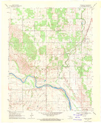
1969 · Fairview SE
USGS Topo · 1:24,000
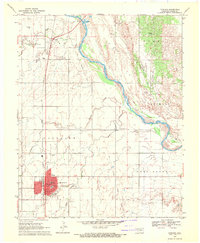
1969 · Fairview
USGS Topo · 1:24,000
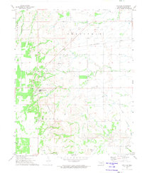
1972 · Southard
USGS Topo · 1:24,000
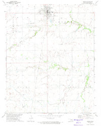
1972 · Okeene
USGS Topo · 1:24,000
1972 · Homestead
USGS Topo · 1:24,000