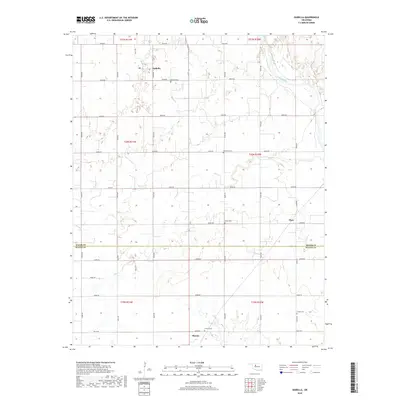
2018 Map of Isabella
USGS Topo · Published 2018About this map
Isabella and the northern edge of Okeene anchor this rural landscape along the boundary of Major and Blaine Counties. The terrain is defined by the winding course of the Cimarron River in the northeast and a network of seasonal drainages including Deep Cr and Elm Cr. This agricultural region is organized by a strict section-line road system, with many local routes such as e0550 RD and n2640 RD providing access to isolated farmsteads and rural community centers.
Find a feature on this map
36 named features on this map. Tap any name to fly to it.
Don’t see what you’re looking for? This feature index may not catch every label — zoom into the map to look around manually.
Map Details
Editions of this 2018 Isabella Map
This is the sole edition of this map. No revisions or reprints were ever made.
Other maps of this area

1893 · Ames
USGS Topo · 1:62,500

1955 · Woodward
USGS Topo · 1:250,000

1956 · Ames
USGS Topo · 1:62,500

1956 · Ringwood
USGS Topo · 1:62,500

1958 · Woodward
USGS Topo · 1:250,000

1969 · Fairview SE
USGS Topo · 1:24,000

1969 · Fairview
USGS Topo · 1:24,000

1972 · Southard
USGS Topo · 1:24,000

1972 · Okeene
USGS Topo · 1:24,000

1972 · Homestead
USGS Topo · 1:24,000