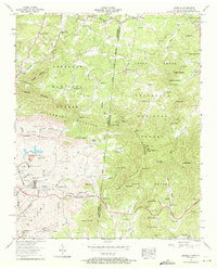
1957 Map of Isabella
USGS Topo · Published 1971About this map
The copper mining industry dominates the southwestern landscape of this 1957 survey, centered on the settlement of Isabella. Substantial extraction sites like the Burra-Burra Mine, Isabella Mine, and Eureka Mine appear alongside specialized infrastructure, including the London Flotation Plant and a dedicated tailings pond. This industrial hub is connected to broader markets via the Louisville and Nashville Railroad, which snakes through the terrain near Harbuck. To the east, the character of the land shifts toward the protected slopes of the Cherokee National Forest and Nantahala National Forest, straddling the Tennessee-North Carolina border.
Find a feature on this map
95 named features on this map. Tap any name to fly to it.
Don’t see what you’re looking for? This feature index may not catch every label — zoom into the map to look around manually.
Map Details
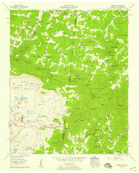
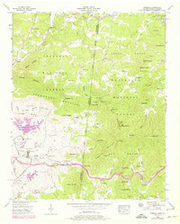
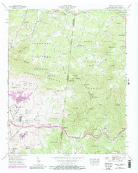
Editions of this 1957 Isabella Map
4 editions found
Other maps of this area

1888 · Ellijay
USGS Topo · 1:125,000

1892 · Ellijay
USGS Topo · 1:125,000

1893 · Murphy
USGS Topo · 1:125,000

1898 · Ellijay
USGS Topo · 1:125,000

1911 · Ellijay
USGS Topo · 1:125,000

1914 · Murphy
USGS Topo · 1:125,000

1934 · Persimmon Creek
USGS Topo · 1:24,000

1934 · Unaka
USGS Topo · 1:24,000

1934 · Murphy
USGS Topo · 1:48,000

1935 · Epworth
USGS Topo · 1:24,000