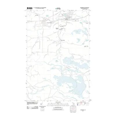
2011 Map of Ishpeming
USGS Topo · Published 2011About this map
Ishpeming anchors this survey of Michigan’s Upper Peninsula mining country, where the landscape is defined by a dense network of iron-era settlements and water bodies. The terrain rises to several prominent heights including Pilot Knob, Last Bluff, and the Jasper Knob Scenic Overlook, offering a clear view of the region's industrial and recreational geography. To the south of the main town, smaller community clusters like Salisbury, Frenchtown, and National Mine suggest the historical locations of early iron workings and worker housing.
Find a feature on this map
76 named features on this map. Tap any name to fly to it.
Don’t see what you’re looking for? This feature index may not catch every label — zoom into the map to look around manually.
Map Details
Editions of this 2011 Ishpeming Map
This is the sole edition of this map. No revisions or reprints were ever made.
Other maps of this area

1952 · Ishpeming
USGS Topo · 1:62,500

1952 · Ishpeming
USGS Topo · 1:24,000

1952 · Palmer
USGS Topo · 1:24,000

1953 · Negaunee
USGS Topo · 1:24,000

1954 · Negaunee SW
USGS Topo · 1:24,000

1954 · Negaunee
USGS Topo · 1:62,500

1955 · Diorite
USGS Topo · 1:24,000

1955 · Greenwood
USGS Topo · 1:24,000

1955 · Republic
USGS Topo · 1:62,500

1955 · Champion
USGS Topo · 1:62,500