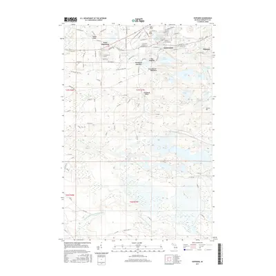
2017 Map of Ishpeming
USGS Topo · Published 2017About this map
The Marquette Iron Range’s industrial and residential layout is clearly defined in this modern survey of Ishpeming. While the city core is densely gridded with streets like Michigan St and W Division St, the surrounding landscape is marked by the complex relationship between mining history and topography. The map details smaller settlements and neighborhoods such as National Mine, West Ishpeming, North Lake, and Salisbury. Natural and man-made water features dot the terrain, from Lake Angeline and Lake Bancroft in the heart of town to the more remote Tilden Lake and Foster Lake to the south.
Find a feature on this map
115 named features on this map. Tap any name to fly to it.
Don’t see what you’re looking for? This feature index may not catch every label — zoom into the map to look around manually.
Map Details
Editions of this 2017 Ishpeming Map
This is the sole edition of this map. No revisions or reprints were ever made.
Other maps of this area

1952 · Ishpeming
USGS Topo · 1:62,500

1952 · Ishpeming
USGS Topo · 1:24,000

1952 · Palmer
USGS Topo · 1:24,000

1953 · Negaunee
USGS Topo · 1:24,000

1954 · Negaunee SW
USGS Topo · 1:24,000

1954 · Negaunee
USGS Topo · 1:62,500

1955 · Diorite
USGS Topo · 1:24,000

1955 · Greenwood
USGS Topo · 1:24,000

1955 · Republic
USGS Topo · 1:62,500

1955 · Champion
USGS Topo · 1:62,500