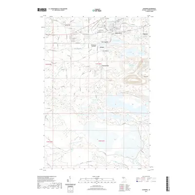
2019 Map of Ishpeming
USGS Topo · Published 2019About this map
Ishpeming and Negaunee anchor this survey of Michigan's Marquette Iron Range, where the landscape is defined by the heavy footprint of the mining industry. The map captures the dense street grids and satellite settlements like Frenchtown, Salisbury, and National Mine, all of which developed around the region's massive iron ore deposits. The central corridor is marked by the Iron Ore Heritage Trail, tracing the path of the railroads that once hauled ore from the mines to the docks.
Find a feature on this map
109 named features on this map. Tap any name to fly to it.
Don’t see what you’re looking for? This feature index may not catch every label — zoom into the map to look around manually.
Map Details
Editions of this 2019 Ishpeming Map
This is the sole edition of this map. No revisions or reprints were ever made.
Other maps of this area

1952 · Ishpeming
USGS Topo · 1:62,500

1952 · Ishpeming
USGS Topo · 1:24,000

1952 · Palmer
USGS Topo · 1:24,000

1953 · Negaunee
USGS Topo · 1:24,000

1954 · Negaunee SW
USGS Topo · 1:24,000

1954 · Negaunee
USGS Topo · 1:62,500

1955 · Diorite
USGS Topo · 1:24,000

1955 · Greenwood
USGS Topo · 1:24,000

1955 · Republic
USGS Topo · 1:62,500

1955 · Champion
USGS Topo · 1:62,500