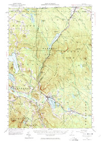
1953 Map of Island Pond
USGS Topo · Published 1974About this map
The Canadian National Railway serves as the industrial spine of this Northeast Kingdom landscape, connecting the international border at Norton southward through the village of Island Pond. This 1953 revision, based on surveys dating back to 1924, documents a region defined by high peaks and remote water bodies including Gore Mtn and the expansive Norton Pond. The geography reflects the administrative complexity of Vermont's unorganized territories, featuring large tracts such as Warners Grant, Warrens Gore, and Averys Gore where mountain ridges like Bluff Mountain dominate over sparse permanent settlements.
Find a feature on this map
107 named features on this map. Tap any name to fly to it.
Don’t see what you’re looking for? This feature index may not catch every label — zoom into the map to look around manually.
Map Details
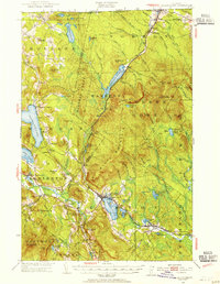
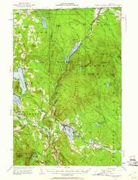
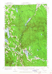
Editions of this 1953 Island Pond Map
5 editions found

Other maps of this area

1919 · Lake Memphremagog
USGS Topo · 1:62,500

1920 · Derby
USGS Topo · 1:62,500

1920 · Guildhall
USGS Topo · 1:62,500

1923 · Lake Memphremagog
USGS Topo · 1:48,000

1924 · Island Pond
USGS Topo · 1:48,000

1925 · Memphremagog
USGS Topo · 1:62,500

1926 · Island Pond
USGS Topo · 1:62,500

1929 · Averill
USGS Topo · 1:62,500

1931 · Guildhall
USGS Topo · 1:48,000

1933 · Guildhall
USGS Topo · 1:48,000