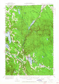
1953 Map of Island Pond
USGS Topo · Published 1966About this map
Island Pond serves as the central hub for the Upper Kingdom's interior in the mid-1950s, where the Canadian Pacific railroad tracks trace a corridor through the glacial terrain. The map details a landscape defined by its unorganized townships and unique land grants, such as Warrens Gore and Avery s Gore, which highlight the region's distinct history of land division. Settlement is clustered at crossroads and near water, seen in villages like East Charleston and Norton Mills on the international border.
Find a feature on this map
91 named features on this map. Tap any name to fly to it.
Don’t see what you’re looking for? This feature index may not catch every label — zoom into the map to look around manually.
Map Details
Editions of this 1953 Island Pond Map
5 editions found

Other maps of this area

1919 · Lake Memphremagog
USGS Topo · 1:62,500

1920 · Derby
USGS Topo · 1:62,500

1920 · Guildhall
USGS Topo · 1:62,500

1923 · Lake Memphremagog
USGS Topo · 1:48,000

1924 · Island Pond
USGS Topo · 1:48,000

1925 · Memphremagog
USGS Topo · 1:62,500

1926 · Island Pond
USGS Topo · 1:62,500

1929 · Averill
USGS Topo · 1:62,500

1931 · Guildhall
USGS Topo · 1:48,000

1933 · Guildhall
USGS Topo · 1:48,000