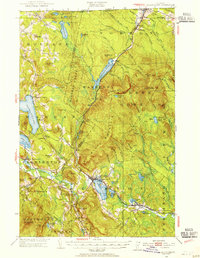
1953 Map of Island Pond
USGS Topo · Published 1954About this map
The Canadian border defines the northern edge of this Vermont landscape, where the Canadian National Railways corridor links the international crossing at Norton Mills to the village of Island Pond. The rail line carves a route through the dense woodlands of Warners Gore and Averys Gore, passing the industrial footprint of the Norton Pond area. In the western portion of the sheet, the waters of Seymour Lake and Echo Pond anchor the communities of Morgan Center and East Charleston, showing the early 1950s settlement patterns before major modernization. Local infrastructure is captured in detail, from the State Fish Hatchery near Morgan to rural outposts like the Buck School and remote Cargill Cem. The terrain is dominated by the massive profile of Bluff Mountain, with the Clyde River and Nulhegan River systems providing the primary drainage for this heavily forested and lake-studded region.
Find a feature on this map
88 named features on this map. Tap any name to fly to it.
Don’t see what you’re looking for? This feature index may not catch every label — zoom into the map to look around manually.
Map Details
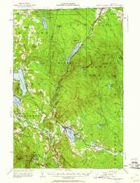
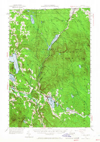
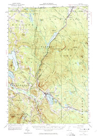
Editions of this 1953 Island Pond Map
5 editions found

Other maps of this area

1919 · Lake Memphremagog
USGS Topo · 1:62,500

1920 · Derby
USGS Topo · 1:62,500

1920 · Guildhall
USGS Topo · 1:62,500

1923 · Lake Memphremagog
USGS Topo · 1:48,000

1924 · Island Pond
USGS Topo · 1:48,000

1925 · Memphremagog
USGS Topo · 1:62,500

1926 · Island Pond
USGS Topo · 1:62,500

1929 · Averill
USGS Topo · 1:62,500

1931 · Guildhall
USGS Topo · 1:48,000

1933 · Guildhall
USGS Topo · 1:48,000