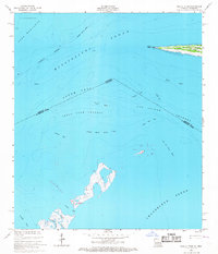
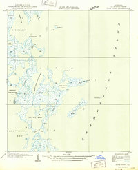
1955 Map of Isle Au Pitre
USGS Topo · Published 1967About this map
Isle au Pitre and the western tip of Cat Island anchor this coastal survey where the waters of Mississippi Sound and Chandeleur Sound meet. The map reveals a complex aquatic landscape of shoals and channels defined by the maritime boundary between Mississippi and Louisiana, separating Harrison County and St. Bernard Parish. A lone Lighthouse at West Point serves as a critical navigational marker for vessels transiting the Pass Marianne and South Pass. Submerged features like Cabbage Reef, Porpoise Shoal, and the South Shell Bank Flats illustrate the shifting sands of the Gulf Coast before modern coastal erosion significantly altered these barrier island footprints. The inclusion of the Juan De Cuevas Claim provides a direct link to Spanish colonial land grants and the early 19th-century settlement of the Gulf islands.
Find a feature on this map
25 named features on this map. Tap any name to fly to it.
Don’t see what you’re looking for? This feature index may not catch every label — zoom into the map to look around manually.
Map Details
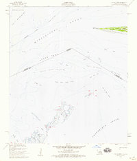
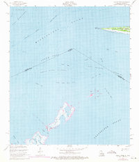
Editions of this 1955 Isle Au Pitre Map
3 editions found
Other maps of this area

1893 · Cat Island
USGS Topo · 1:62,500

1893 · Toulme
USGS Topo · 1:62,500

1946 · Isle Au Pitre
USGS Topo · 1:31,680
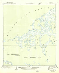
1949 · Drum Bay
USGS Topo · 1:31,680
1949 · Door Point
USGS Topo · 1:31,680

1951 · Cat Island
USGS Topo · 1:24,000

1953 · Mobile
USGS Topo · 1:250,000

1954 · Isle Au Pitre
USGS Topo · 1:31,680

1954 · Gulfport South
USGS Topo · 1:24,000

1955 · Pass Christian
USGS Topo · 1:24,000