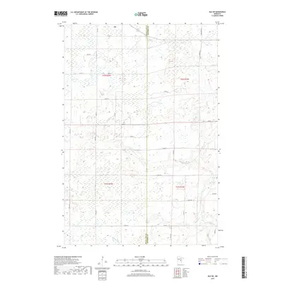
2019 Map of Isle SW
USGS Topo · Published 2019About this map
The town of Isle anchors the northern edge of this 2019 survey, situated at the boundary of Mille Lacs and Kanabec counties. The landscape is defined by the wandering paths of the Knife River and Little Ann River, which cut through a mosaic of wetlands and agricultural land. A grid of county roads and avenues provides access to the rural interiors, including local arteries like Co Rd 131 and Co Rd 126. While the map shows modern road classifications, the underlying Public Land Survey System (PLSS) grid remains clearly visible, marking the sections of t42n r25w and t41n r25w. This document provides a clear look at the contemporary land use patterns and rural infrastructure in the region just south of Mille Lacs Lake.
Find a feature on this map
32 named features on this map. Tap any name to fly to it.
Don’t see what you’re looking for? This feature index may not catch every label — zoom into the map to look around manually.
Map Details
Editions of this 2019 Isle SW Map
This is the sole edition of this map. No revisions or reprints were ever made.
Other maps of this area

1953 · Duluth
USGS Topo · 1:250,000

1953 · Stillwater
USGS Topo · 1:250,000

1955 · Stillwater
USGS Topo · 1:250,000

1958 · Stillwater
USGS Topo · 1:250,000

1958 · Duluth
USGS Topo · 1:250,000

1965 · Stillwater
USGS Topo · 1:250,000

1968 · Milaca NE
USGS Topo · 1:24,000

1968 · Ann Lake
USGS Topo · 1:24,000

1968 · Isle SW
USGS Topo · 1:24,000

1968 · Wahkon North
USGS Topo · 1:24,000