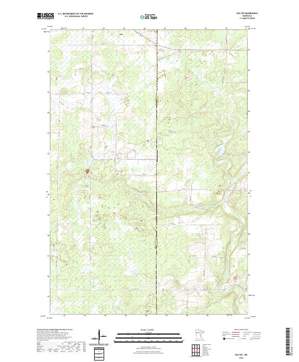
2022 Map of Isle SW
USGS Topo · Published 2022About this map
The Mille Lacs Co and Kanabec Co border runs through this wetland-dominated landscape south of the village of Isle. The terrain is defined by the winding course of the Knife River, which meanders across the eastern half of the sheet, and the Little Ann River in the southwest corner. These watercourses dictate the local drainage patterns across a region heavily marked by marshes and small ponds, reflecting the glacial history of central Minnesota.
Find a feature on this map
33 named features on this map. Tap any name to fly to it.
Don’t see what you’re looking for? This feature index may not catch every label — zoom into the map to look around manually.
Map Details
Editions of this 2022 Isle SW Map
This is the sole edition of this map. No revisions or reprints were ever made.
Other maps of this area

1953 · Duluth
USGS Topo · 1:250,000

1953 · Stillwater
USGS Topo · 1:250,000

1955 · Stillwater
USGS Topo · 1:250,000

1958 · Stillwater
USGS Topo · 1:250,000

1958 · Duluth
USGS Topo · 1:250,000

1965 · Stillwater
USGS Topo · 1:250,000

1968 · Milaca NE
USGS Topo · 1:24,000

1968 · Ann Lake
USGS Topo · 1:24,000

1968 · Isle SW
USGS Topo · 1:24,000

1968 · Wahkon North
USGS Topo · 1:24,000