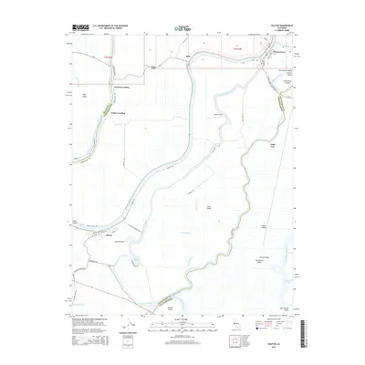
2015 Map of Isleton
USGS Topo · Published 2015About this map
Sacramento River meanders through the heart of the California Delta, defining a landscape of reclaimed land and historical river towns. This 2015 survey reveals the intricate hydrography of the region, where Georgiana Slough and Steamboat Slough branch off to create a complex network of waterways. Small settlements like Isleton and Walnut Grove anchor the riverbanks, serving as focal points for the agricultural tracts on Grand Island and Andrus Island. The engineering of the Delta-Cross Channel and the protection of The Oxbow demonstrate the ongoing management of this vital riparian corridor. Away from the main channels, the map documents smaller features like the Spezia Airport and numerous landings including Howard Landing and Walker Landing, which highlight the historical reliance on water-based transit and local aviation within the sprawling Sacramento Valley.
Find a feature on this map
55 named features on this map. Tap any name to fly to it.
Don’t see what you’re looking for? This feature index may not catch every label — zoom into the map to look around manually.
Map Details
Editions of this 2015 Isleton Map
This is the sole edition of this map. No revisions or reprints were ever made.
Other maps of this area

1894 · Lodi
USGS Topo · 1:125,000

1908 · Courtland
USGS Topo · 1:62,500

1910 · New Hope
USGS Topo · 1:31,680

1910 · Rio Vista
USGS Topo · 1:31,680

1910 · Bouldin
USGS Topo · 1:31,680

1910 · Jersey
USGS Topo · 1:31,680

1910 · Bruceville
USGS Topo · 1:31,680

1910 · Headreach
USGS Topo · 1:31,680

1910 · Isleton
USGS Topo · 1:31,680

1916 · Cache Slough
USGS Topo · 1:31,680