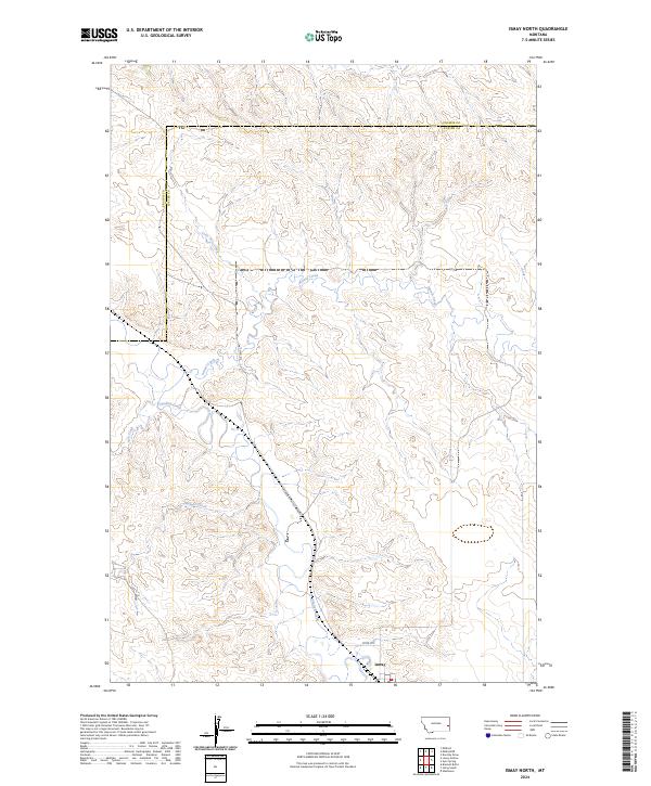
2024 Map of Ismay North
USGS Topo · Published 2024About this map
Ismay sits at the southern edge of this landscape, where the prairie of eastern Montana is defined by a network of drainage systems. The convergence of O'Fallon Creek, Pennel Creek, and Ash Creek illustrates the intricate hydrology of the region, where seasonal watercourses have carved distinct patterns across the terrain. These creek beds serve as the primary geographical markers in a territory largely defined by vast open stretches and section-line ranching boundaries.
Find a feature on this map
13 named features on this map. Tap any name to fly to it.
Don’t see what you’re looking for? This feature index may not catch every label — zoom into the map to look around manually.
Map Details
Editions of this 2024 Ismay North Map
This is the sole edition of this map. No revisions or reprints were ever made.
Other maps of this area

1953 · Miles City
USGS Topo · 1:250,000

1957 · Miles City
USGS Topo · 1:250,000

1958 · Miles City
USGS Topo · 1:250,000

1981 · Baker
USGS Topo · 1:100,000

1981 · Mildred NE
USGS Topo · 1:24,000
1981 · Bracket Butte
USGS Topo · 1:24,000
1981 · Loony Hollow
USGS Topo · 1:24,000
1981 · Ismay North
USGS Topo · 1:24,000

1981 · Dorothy Draw
USGS Topo · 1:24,000

1981 · Ayer Spring
USGS Topo · 1:24,000