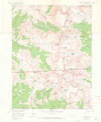
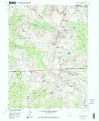
1958 Map of Isolation Peak
USGS Topo · Published 1967About this map
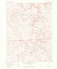
The Continental Divide serves as the backbone of this high-altitude landscape, separating the western drainage of Rocky Mountain National Park from the eastern slopes of Roosevelt National Forest. This late 1950s survey captures a transition in backcountry management and recreation, where established paths like the East Inlet Trail and St Vrain Trail provide the primary access to the glaciated interior. The presence of the Patrol Cabin near Thunder Lake reflects early administrative footprints in this wilderness.
Find a feature on this map
94 named features on this map. Tap any name to fly to it.
Don’t see what you’re looking for? This feature index may not catch every label — zoom into the map to look around manually.
Map Details
Editions of this 1958 Isolation Peak Map
9 editions found
Other maps of this area

1915 · Longs Peak
USGS Topo · 1:125,000

1919 · Rocky Mountain National Park
USGS Topo · 1:125,000

1954 · Greeley
USGS Topo · 1:250,000

1957 · Greeley
USGS Topo · 1:250,000

1957 · Mc Henrys Peak
USGS Topo · 1:24,000

1957 · Allens Park
USGS Topo · 1:24,000

1957 · Longs Peak
USGS Topo · 1:24,000
1957 · Ward
USGS Topo · 1:24,000

1958 · Greeley
USGS Topo · 1:250,000
1958 · Strawberry Lake
USGS Topo · 1:24,000