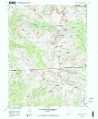
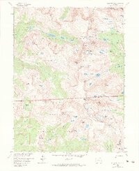
1958 Map of Isolation Peak
USGS Topo · Published 1984About this map
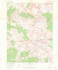
The Continental Divide serves as the central spine of this 1958 field-checked survey, separating the high alpine drainages of Rocky Mountain National Park and the surrounding national forests. The eastern slopes are dominated by the Wild Basin, a network of glacial tarns and creeks including Thunder Lake, Bluebird Lake, and Ouzel Lake. These waters feed into the North Fork St. Vrain Creek, while to the west, the East Inlet Trail follows the corridor toward Lake Verna and Spirit Lake.
Find a feature on this map
90 named features on this map. Tap any name to fly to it.
Don’t see what you’re looking for? This feature index may not catch every label — zoom into the map to look around manually.
Map Details
Editions of this 1958 Isolation Peak Map
9 editions found
Other maps of this area

1915 · Longs Peak
USGS Topo · 1:125,000

1919 · Rocky Mountain National Park
USGS Topo · 1:125,000

1954 · Greeley
USGS Topo · 1:250,000

1957 · Greeley
USGS Topo · 1:250,000

1957 · Mc Henrys Peak
USGS Topo · 1:24,000

1957 · Allens Park
USGS Topo · 1:24,000

1957 · Longs Peak
USGS Topo · 1:24,000
1957 · Ward
USGS Topo · 1:24,000

1958 · Greeley
USGS Topo · 1:250,000
1958 · Strawberry Lake
USGS Topo · 1:24,000