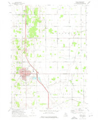
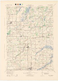
1973 Map of Ithaca
USGS Topo · Published 1976About this map
The Gratiot County seat of Ithaca anchors this 1970s survey, showing a well-established Midwestern grid at the intersection of Washington Road and the state highway. The town's civic core is clearly defined by the Courthouse, City Hall, and several schools including the High Sch and South Sch. Just beyond the corporate limits, the landscape transitions into a productive agricultural pattern shaped by the drainage of Beaver Creek and the Beaver Drain, with the Bad River winding through the southern section.
Find a feature on this map
44 named features on this map. Tap any name to fly to it.
Don’t see what you’re looking for? This feature index may not catch every label — zoom into the map to look around manually.
Map Details
Editions of this 1973 Ithaca Map
This is the sole edition of this map. No revisions or reprints were ever made.
Other maps of this area
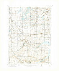
1918 · Elsie
USGS Topo · 1:62,500
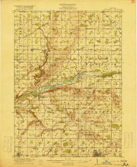
1918 · Perrinton
USGS Topo · 1:62,500
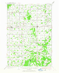
1934 · Merrill
USGS Topo · 1:62,500
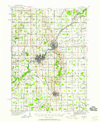
1935 · Alma
USGS Topo · 1:62,500
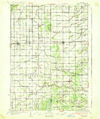
1937 · Merrill
USGS Topo · 1:62,500
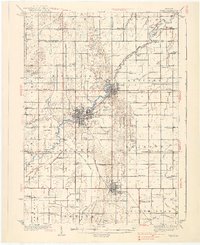
1938 · Alma
USGS Topo · 1:62,500
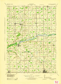
1943 · Perrinton
USGS Topo · 1:62,500
1943 · Elsie
USGS Topo · 1:62,500

1954 · Midland
USGS Topo · 1:250,000

1958 · Midland
USGS Topo · 1:250,000