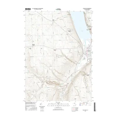
2016 Map of Ithaca West
USGS Topo · Published 2016About this map
Cayuga Lake dominates the eastern edge of this region, where the steep hillsides of the Finger Lakes region descend into the developed core of Ithaca. The landscape is a mix of urban density at South Hill and the sprawling rural uplands to the west, defined by deep ravines like Coy Glen and Enfield Glen. The map reveals a dense network of local history, marked by numerous small burial grounds including the Quaker Cem and Rolfe Cem, alongside small aviation sites like the Neno International Airport. The path of the N Country National Scenic Trail winds through the southern terrain, crossing Enfield Creek and passing near Budd Cem. Settlement patterns follow the high ground at Kennedy Corner and Applegate Corner, while the deep valley of the Cayuga Inlet provides a natural corridor for the transportation infrastructure connecting Lansing and McKinneys to the city center.
Find a feature on this map
77 named features on this map. Tap any name to fly to it.
Don’t see what you’re looking for? This feature index may not catch every label — zoom into the map to look around manually.
Map Details
Editions of this 2016 Ithaca West Map
This is the sole edition of this map. No revisions or reprints were ever made.
Other maps of this area

1893 · Ithaca
USGS Topo · 1:62,500

1895 · Ithaca
USGS Topo · 1:62,500

1898 · Moravia
USGS Topo · 1:62,500

1900 · Dryden
USGS Topo · 1:62,500

1902 · Moravia
USGS Topo · 1:62,500

1902 · Genoa
USGS Topo · 1:62,500

1905 · Watkins Glen
USGS Topo · 1:125,000

1906 · Catatonk
USGS Topo · 1:125,000

1942 · Ludlowville
USGS Topo · 1:24,000

1942 · Trumansburg
USGS Topo · 1:24,000