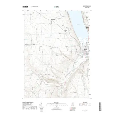
2019 Map of Ithaca West
USGS Topo · Published 2019About this map
Cayuga Lake dominates the northeastern corner of this area, where the steep terrain of the Finger Lakes region meets the urban edge of Ithaca. The landscape is defined by dramatic gorges and watercourses such as Coy Glen and Fall Creek, with the Cayuga Inlet carving through Inlet Valley. Notable for its high concentration of state-managed lands, the map details the boundaries of Robert H Treman State Park and Buttermilk Falls State Park, reflecting the region's commitment to preserving its unique geological features. The western uplands are dotted with small crossroads settlements like Krum Corner and Applegate Corner, while several cemeteries including West Hill Cem and Calvary Cem provide critical landmarks for genealogists. The presence of the Norfolk Southern railroad line and local landing strips like Neno Airport illustrate the transportation network serving the periphery of Tompkins County.
Find a feature on this map
168 named features on this map. Tap any name to fly to it.
Don’t see what you’re looking for? This feature index may not catch every label — zoom into the map to look around manually.
Map Details
Editions of this 2019 Ithaca West Map
This is the sole edition of this map. No revisions or reprints were ever made.
Other maps of this area

1893 · Ithaca
USGS Topo · 1:62,500

1895 · Ithaca
USGS Topo · 1:62,500

1898 · Moravia
USGS Topo · 1:62,500

1900 · Dryden
USGS Topo · 1:62,500

1902 · Moravia
USGS Topo · 1:62,500

1902 · Genoa
USGS Topo · 1:62,500

1905 · Watkins Glen
USGS Topo · 1:125,000

1906 · Catatonk
USGS Topo · 1:125,000

1942 · Ludlowville
USGS Topo · 1:24,000

1942 · Trumansburg
USGS Topo · 1:24,000