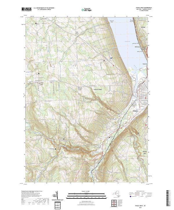
2023 Map of Ithaca West
USGS Topo · Published 2023About this map
Ithaca sits at the southern terminus of Cayuga Lake, where a complex network of gorges and creeks carves through the landscape. The western approaches to the city are defined by steep terrain and significant natural landmarks like Enfield Glen and Coy Glen. The presence of Robert H Treman State Park and Buttermilk Falls State Park highlights the area's transition from early agricultural and milling sites to preserved recreational spaces.
Find a feature on this map
93 named features on this map. Tap any name to fly to it.
Don’t see what you’re looking for? This feature index may not catch every label — zoom into the map to look around manually.
Map Details
Editions of this 2023 Ithaca West Map
This is the sole edition of this map. No revisions or reprints were ever made.
Other maps of this area

1893 · Ithaca
USGS Topo · 1:62,500

1895 · Ithaca
USGS Topo · 1:62,500

1898 · Moravia
USGS Topo · 1:62,500

1900 · Dryden
USGS Topo · 1:62,500

1902 · Moravia
USGS Topo · 1:62,500

1902 · Genoa
USGS Topo · 1:62,500

1905 · Watkins Glen
USGS Topo · 1:125,000

1906 · Catatonk
USGS Topo · 1:125,000

1942 · Ludlowville
USGS Topo · 1:24,000

1942 · Trumansburg
USGS Topo · 1:24,000