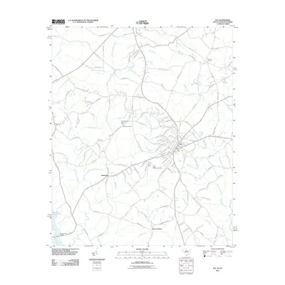
2011 Map of Iva
USGS Topo · Published 2011About this map
Iva serves as the primary hub of this Anderson County landscape, where the local road network converges at the Iva Post Office. The town is flanked by smaller settlements like Moffittsville to the southwest and Barnes Station to the south, reflecting a historical rural structure defined by crossroads and rail points. Significant genealogical landmarks are scattered across the terrain, including Goodhope Cemetery, Hebrion Cemetery, and the Cross Roads Methodist Cemetery. The western edge of the area is dominated by the waters of the Savannah River and the Richard B Russell Lake, into which numerous local drainage systems flow. Notable waterways such as Little Generostee Creek and its prongs, alongside Canoe Creek and Wilson Creek, carve through the region, while the Baskin Pond Dam D-3120 represents modern water management in this established South Carolina community.
Find a feature on this map
118 named features on this map. Tap any name to fly to it.
Don’t see what you’re looking for? This feature index may not catch every label — zoom into the map to look around manually.
Map Details
Editions of this 2011 Iva Map
This is the sole edition of this map. No revisions or reprints were ever made.
Other maps of this area

1893 · Elberton
USGS Topo · 1:125,000

1954 · Greenville
USGS Topo · 1:250,000

1958 · Greenville
USGS Topo · 1:250,000

1958 · Elberton
USGS Topo · 1:62,500

1959 · Hartwell Dam
USGS Topo · 1:24,000

1959 · Hartwell NE
USGS Topo · 1:24,000

1964 · Iva
USGS Topo · 1:24,000

1964 · Antreville
USGS Topo · 1:24,000

1964 · Lowndesville
USGS Topo · 1:24,000

1964 · Saylors Crossroads
USGS Topo · 1:24,000