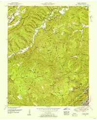
1952 Map of Ivydell
USGS Topo · Published 1954About this map
Pine Mountain and Walnut Mountain dominate this mid-century look at Campbell County, where the topography dictated the slow growth of mountain settlements. The map documents numerous family burial grounds, such as Henry Ayers Cemetery and Reynolds Cemetery, which serve as vital markers for local genealogists. Industrial activity is visible in the scattered coal mines and the presence of the Southern railroad line passing through Elk Valley.
Find a feature on this map
65 named features on this map. Tap any name to fly to it.
Don’t see what you’re looking for? This feature index may not catch every label — zoom into the map to look around manually.
Map Details
Editions of this 1952 Ivydell Map
2 editions found
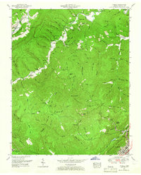
Other maps of this area

1890 · Williamsburg
USGS Topo · 1:125,000

1893 · Briceville
USGS Topo · 1:125,000

1894 · Williamsburg
USGS Topo · 1:125,000

1895 · Briceville
USGS Topo · 1:125,000

1896 · Briceville
USGS Topo · 1:125,000

1936 · Ivydell
USGS Topo · 1:24,000

1936 · Block
USGS Topo · 1:24,000

1936 · Jacksboro
USGS Topo · 1:24,000

1936 · Pioneer
USGS Topo · 1:24,000

1936 · La Follette
USGS Topo · 1:48,000