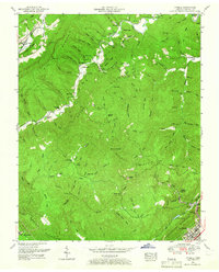
1952 Map of Ivydell
USGS Topo · Published 1966About this map
Walnut Mountain Lookout Tower stands as a prominent sentinel over this 1952 landscape, where the coal economy and rural settlement patterns are etched into the Cumberland Plateau. Numerous small-scale Coal mines and scattered coal ruins are peppered across the ridges, particularly around Stinking Creek and the slopes of Pine Mountain. The mapping reveals a community structured by deep hollows and family-named landmarks, such as Henry Ayers Cemetery, Broyles Cemetery, and the New Mammoth Cave Church.
Find a feature on this map
108 named features on this map. Tap any name to fly to it.
Don’t see what you’re looking for? This feature index may not catch every label — zoom into the map to look around manually.
Map Details
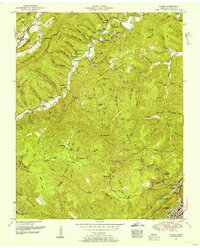
Editions of this 1952 Ivydell Map
2 editions found
Other maps of this area

1890 · Williamsburg
USGS Topo · 1:125,000

1893 · Briceville
USGS Topo · 1:125,000

1894 · Williamsburg
USGS Topo · 1:125,000

1895 · Briceville
USGS Topo · 1:125,000

1896 · Briceville
USGS Topo · 1:125,000

1936 · Ivydell
USGS Topo · 1:24,000

1936 · Block
USGS Topo · 1:24,000

1936 · Jacksboro
USGS Topo · 1:24,000

1936 · Pioneer
USGS Topo · 1:24,000

1936 · La Follette
USGS Topo · 1:48,000