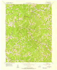
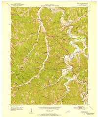
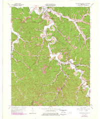
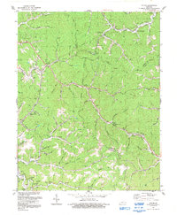
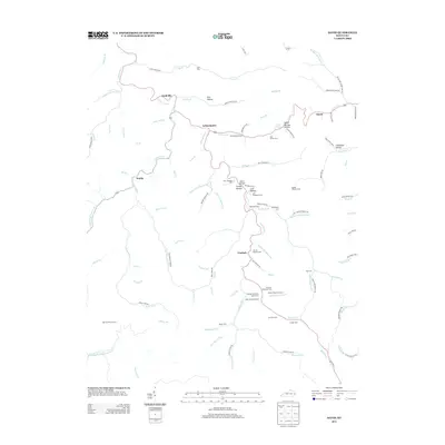
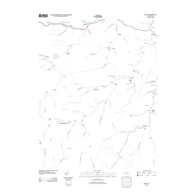
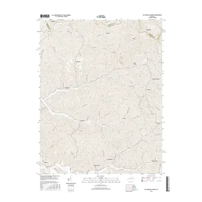
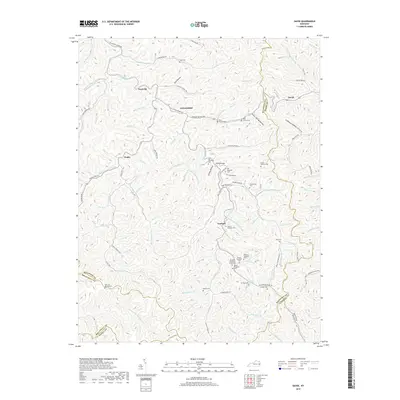
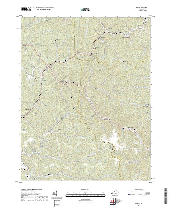
1953 Map of Ivyton
USGS Topo · Published 1955About this map
Ivyton and the surrounding hollows of Magoffin County are defined by a complex network of oil and gas extraction in the early 1950s. The landscape is densely dotted with Oil Wells and Gas Wells, indicating a peak period for local energy production that follows the winding branches of Middle Creek and Jennys Creek. This industrial footprint is woven into a deeply established rural community, marked by a high density of family cemeteries such as the Conley Cem and Patrick Cem, and numerous one-room schools that served isolated creek-bed settlements.
Find a feature on this map
81 named features on this map. Tap any name to fly to it.
Don’t see what you’re looking for? This feature index may not catch every label — zoom into the map to look around manually.
Map Details
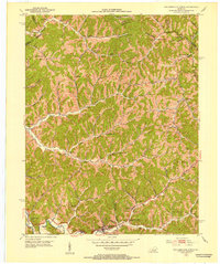
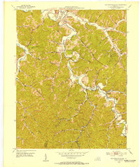
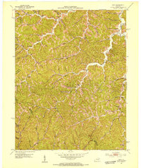
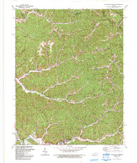
Editions of this 1953 Ivyton Map
This is the sole edition of this map. No revisions or reprints were ever made.
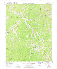
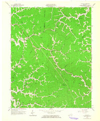
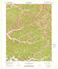
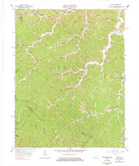
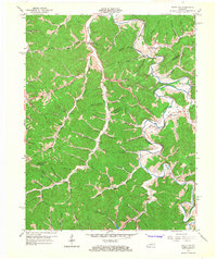
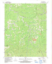
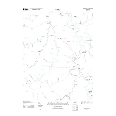
Historical Maps of Brainard Through Time
44 maps found
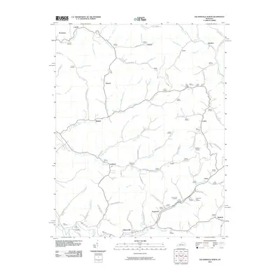
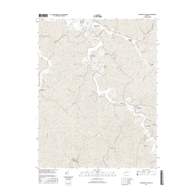
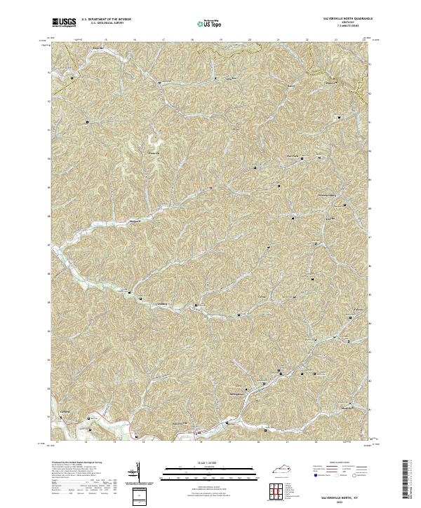
1951 Salyersville North
Magoffin County, KY
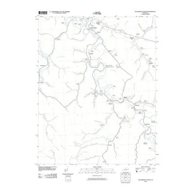
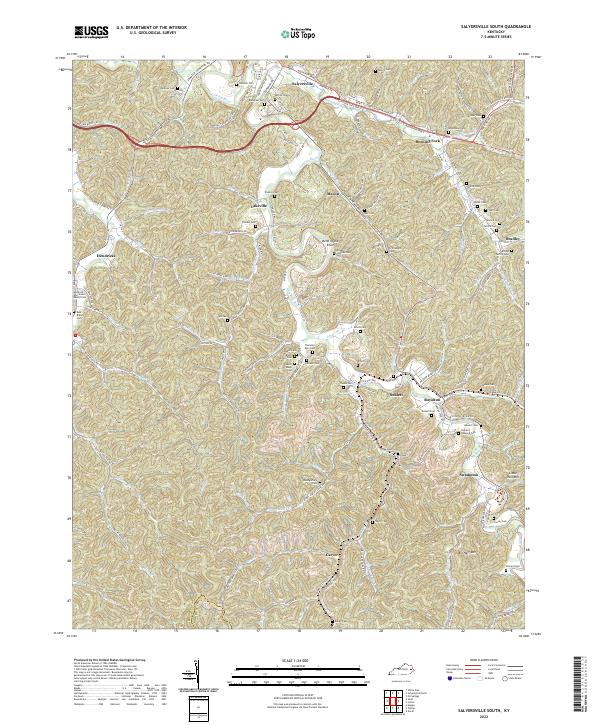
1951 Salyersville South
Magoffin County, KY
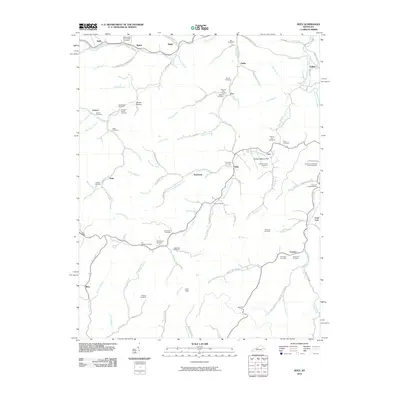
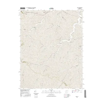
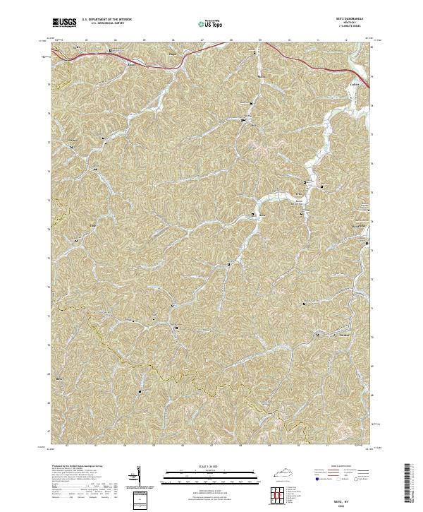
1951 Seitz
Magoffin County, KY
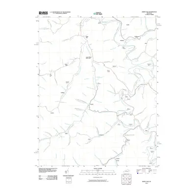
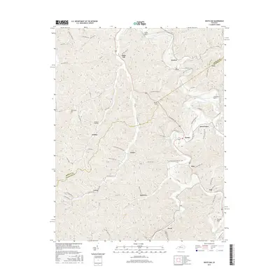
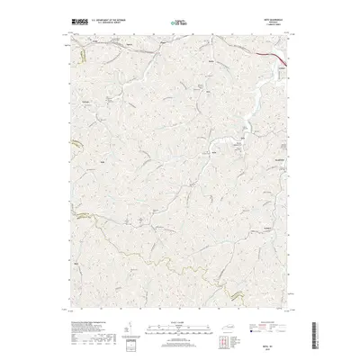
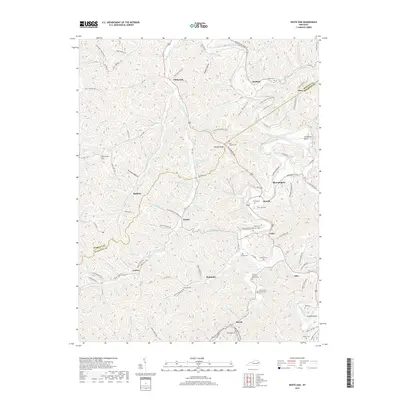
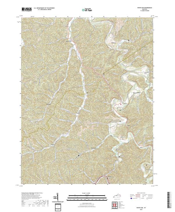
1951 White Oak
Magoffin County, KY
1953 Ivyton
Magoffin County, KY
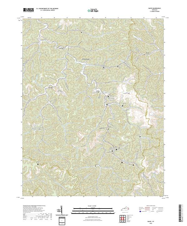
1954 David
Magoffin County, KY
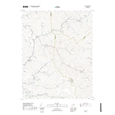
1962 Ivyton
Magoffin County, KY
1962 Salyersville North
Magoffin County, KY
1962 Salyersville South
Magoffin County, KY
1965 Seitz
Magoffin County, KY
1965 White Oak
Magoffin County, KY
1992 David
Magoffin County, KY
1992 Ivyton
Magoffin County, KY
1992 Salyersville North
Magoffin County, KY
2010 David
Magoffin County, KY
2010 Ivyton
Magoffin County, KY
2010 Salyersville North
Magoffin County, KY
2010 Salyersville South
Magoffin County, KY
2010 Seitz
Magoffin County, KY
2010 White Oak
Magoffin County, KY
2013 David
Magoffin County, KY
2013 Ivyton
Magoffin County, KY
2013 Salyersville North
Magoffin County, KY
2013 Salyersville South
Magoffin County, KY
2013 Seitz
Magoffin County, KY
2013 White Oak
Magoffin County, KY
2016 David
Magoffin County, KY
2016 Ivyton
Magoffin County, KY
2016 Salyersville North
Magoffin County, KY
2016 Salyersville South
Magoffin County, KY
2016 Seitz
Magoffin County, KY
2016 White Oak
Magoffin County, KY
2019 David
Magoffin County, KY
2019 Ivyton
Magoffin County, KY
2019 Salyersville North
Magoffin County, KY
2019 Salyersville South
Magoffin County, KY
2019 Seitz
Magoffin County, KY
2019 White Oak
Magoffin County, KY
2022 David
Magoffin County, KY
2022 Ivyton
Magoffin County, KY
2022 Salyersville North
Magoffin County, KY
2022 Salyersville South
Magoffin County, KY
2022 Seitz
Magoffin County, KY
2022 White Oak
Magoffin County, KY