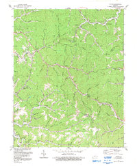
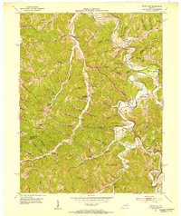
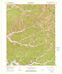
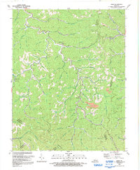
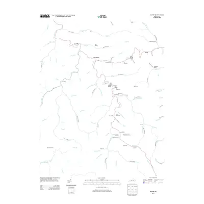
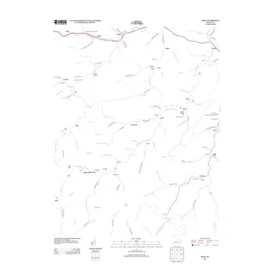
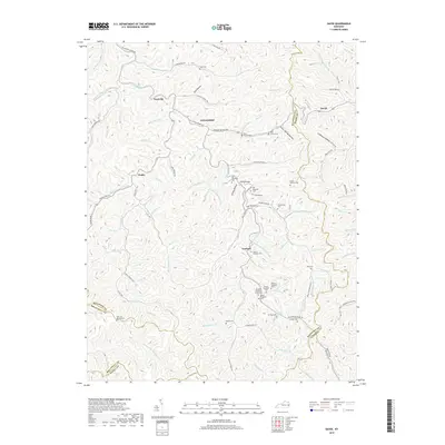
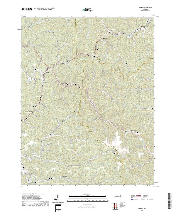
1992 Map of Ivyton
USGS Topo · Published 1992About this map
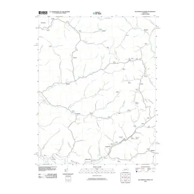
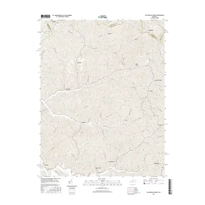
Ivyton and its neighboring communities are defined by the winding hollows and ridge-lines of the Cumberland Plateau, where human activity is concentrated along the narrow valley floors. This 1992 revision of earlier aerial photography shows a landscape deeply integrated with the energy industry, as evidenced by the numerous Oil Wells, Gas Wells, and an extensive pipeline network traversing the hills. Small rural settlements like Riceville, Marshallville, and Brainard are connected by roads that follow the path of watercourses such as Middle Fork and Jennys Creek.
Find a feature on this map
87 named features on this map. Tap any name to fly to it.
Don’t see what you’re looking for? This feature index may not catch every label — zoom into the map to look around manually.
Map Details
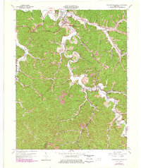
Editions of this 1992 Ivyton Map
This is the sole edition of this map. No revisions or reprints were ever made.
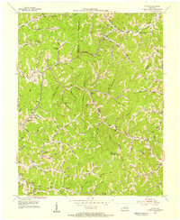
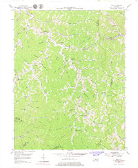
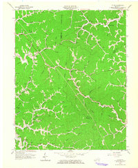
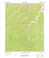
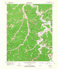
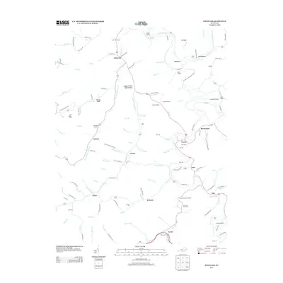
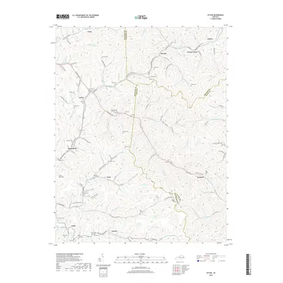
Historical Maps of Brainard Through Time
44 maps found
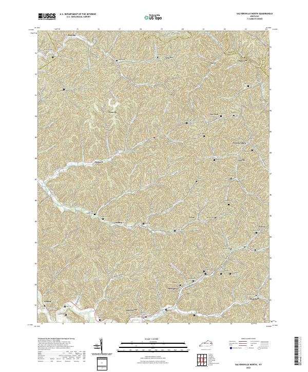
1951 Salyersville North
Magoffin County, KY
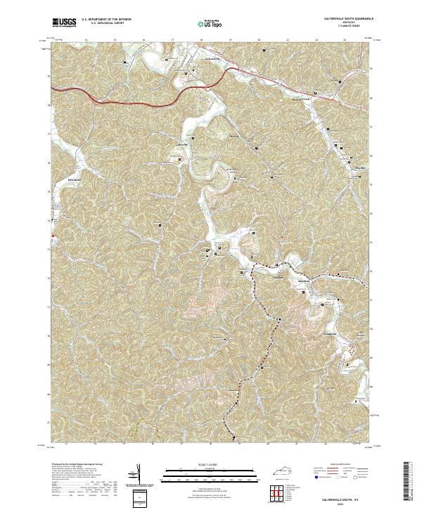
1951 Salyersville South
Magoffin County, KY
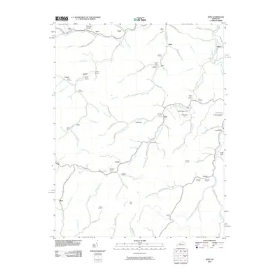
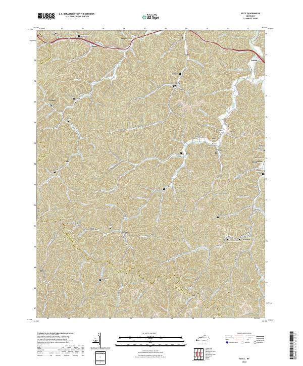
1951 Seitz
Magoffin County, KY
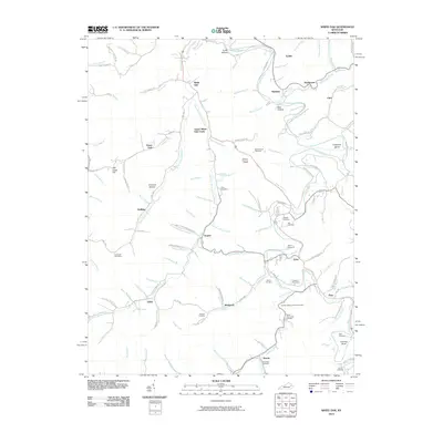
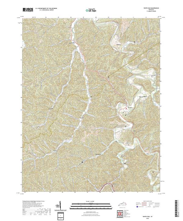
1951 White Oak
Magoffin County, KY
1953 Ivyton
Magoffin County, KY
1954 David
Magoffin County, KY
1962 Ivyton
Magoffin County, KY
1962 Salyersville North
Magoffin County, KY
1962 Salyersville South
Magoffin County, KY
1965 Seitz
Magoffin County, KY
1965 White Oak
Magoffin County, KY
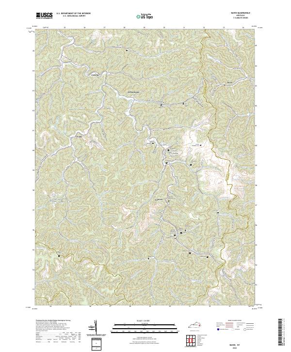
1992 David
Magoffin County, KY
1992 Ivyton
Magoffin County, KY
1992 Salyersville North
Magoffin County, KY
2010 David
Magoffin County, KY
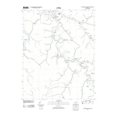
2010 Ivyton
Magoffin County, KY
2010 Salyersville North
Magoffin County, KY
2010 Salyersville South
Magoffin County, KY
2010 Seitz
Magoffin County, KY
2010 White Oak
Magoffin County, KY
2013 David
Magoffin County, KY
2013 Ivyton
Magoffin County, KY
2013 Salyersville North
Magoffin County, KY
2013 Salyersville South
Magoffin County, KY
2013 Seitz
Magoffin County, KY
2013 White Oak
Magoffin County, KY
2016 David
Magoffin County, KY
2016 Ivyton
Magoffin County, KY
2016 Salyersville North
Magoffin County, KY
2016 Salyersville South
Magoffin County, KY
2016 Seitz
Magoffin County, KY
2016 White Oak
Magoffin County, KY
2019 David
Magoffin County, KY
2019 Ivyton
Magoffin County, KY
2019 Salyersville North
Magoffin County, KY
2019 Salyersville South
Magoffin County, KY
2019 Seitz
Magoffin County, KY
2019 White Oak
Magoffin County, KY
2022 David
Magoffin County, KY
2022 Ivyton
Magoffin County, KY
2022 Salyersville North
Magoffin County, KY
2022 Salyersville South
Magoffin County, KY
2022 Seitz
Magoffin County, KY
2022 White Oak
Magoffin County, KY