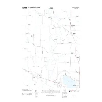
2013 Map of Ixonia
USGS Topo · Published 2013About this map
Rock River and Ashippun River define the agricultural geography of this Jefferson County region, where dairy farming remains a core landscape element. Named agricultural operations such as Glacier Rock Farms, Tag Lane Dairy Farm, and C and L Hereford Farm are prominent, showing the persistence of the local farm economy into the early 21st century. The map tracks the development of Ixonia in the south and the small settlements of Ashippun and Old Ashippun further north along State Road 67. To the southeast, the shoreline of Lac La Belle reveals a shift toward residential development at Buzzard Point, contrasting with the more rural character of Sugar Island. Researchers can find a mix of older rural routes like Poplar Grove Rd and modern thoroughfares, illustrating the evolution of transport in this river-fed valley.
Find a feature on this map
88 named features on this map. Tap any name to fly to it.
Don’t see what you’re looking for? This feature index may not catch every label — zoom into the map to look around manually.
Map Details
Editions of this 2013 Ixonia Map
This is the sole edition of this map. No revisions or reprints were ever made.
Other maps of this area

1892 · Watertown
USGS Topo · 1:62,500

1892 · Oconomowoc
USGS Topo · 1:62,500

1894 · Watertown
USGS Topo · 1:62,500

1904 · Hartford
USGS Topo · 1:62,500

1909 · Oconomowoc
USGS Topo · 1:62,500

1955 · Horicon
USGS Topo · 1:62,500

1957 · Madison
USGS Topo · 1:250,000
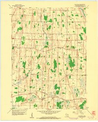
1959 · Helenville
USGS Topo · 1:24,000

1959 · Ixonia
USGS Topo · 1:24,000
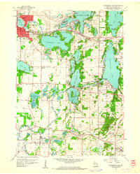
1959 · Oconomowoc East
USGS Topo · 1:24,000