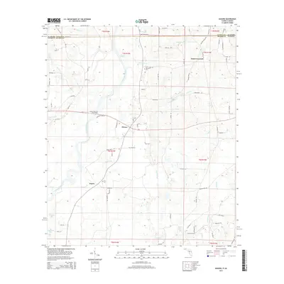
2015 Map of Izagora
USGS Topo · Published 2015About this map
The Choctawhatchee River defines the central topography of this borderland region, winding south through the Alberson Stretch before crossing from Alabama into Florida. Small agricultural settlements like Pittman and Izagora anchor a landscape defined by its creek networks and low-lying wetlands. The map details the transition from the upland roads of Smith Crossroads down to the river bottoms, where the James Riley 'Jim' Paul Bridge serves as a vital crossing point for State Road 2.
Find a feature on this map
93 named features on this map. Tap any name to fly to it.
Don’t see what you’re looking for? This feature index may not catch every label — zoom into the map to look around manually.
Map Details
Editions of this 2015 Izagora Map
This is the sole edition of this map. No revisions or reprints were ever made.
Other maps of this area

1942 · Enterprise
USGS Topo · 1:125,000

1949 · Hobbs Crossroads
USGS Topo · 1:24,000

1949 · Caryville
USGS Topo · 1:24,000

1950 · Hobbs Cross Roads
USGS Topo · 1:24,000

1950 · Prosperity
USGS Topo · 1:24,000

1950 · Caryville
USGS Topo · 1:24,000

1950 · Izagora
USGS Topo · 1:24,000

1950 · Esto
USGS Topo · 1:24,000

1951 · Esto
USGS Topo · 1:24,000

1951 · Bonifay
USGS Topo · 1:24,000