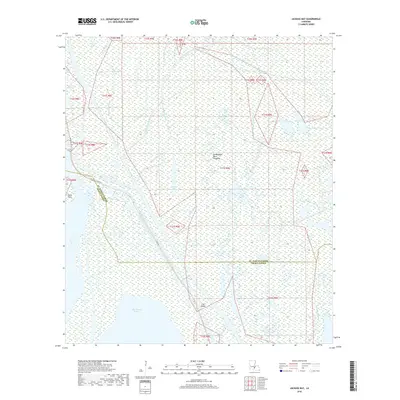
2018 Map of Jackass Bay
USGS Topo · Published 2018About this map
The Atchafalaya Basin Floodway dominates this hydrologically complex landscape on the border of St. Martin and Iberia Parishes. The map reveals an intricate network of waterways including the Big Gonsoulin Bayou, Little Gonsoulin Bayou, and Grand Bayou, which carve through the low-lying wetlands. The southern portion of the sheet opens into the expansive waters of Lake Fausse Pointe, with Fish Island and Eagle Point serving as distinct navigational markers in the marshy terrain. The presence of Levee Rd indicates the critical human intervention required to manage the fluctuating waters of the Atchafalaya basin. Inland water bodies like Jackass Bay and Petit Lac punctuate the cypress-tupelo swamp environment, illustrating the diverse aquatic habitats that define this region of coastal Louisiana.
Find a feature on this map
25 named features on this map. Tap any name to fly to it.
Don’t see what you’re looking for? This feature index may not catch every label — zoom into the map to look around manually.
Map Details
Editions of this 2018 Jackass Bay Map
This is the sole edition of this map. No revisions or reprints were ever made.
Other maps of this area

1935 · Chicot Lake
USGS Topo · 1:62,500

1937 · Jeanerette
USGS Topo · 1:62,500

1941 · Loreauville
USGS Topo · 1:62,500

1945 · New Orleans
USGS Topo · 1:250,000

1948 · Foster
USGS Topo · 1:62,500

1953 · Pigeon Bay
USGS Topo · 1:24,000

1954 · Chicot Lake
USGS Topo · 1:62,500

1954 · Loreauville
USGS Topo · 1:62,500

1954 · Jeanerette
USGS Topo · 1:62,500

1954 · Baton Rouge
USGS Topo · 1:250,000