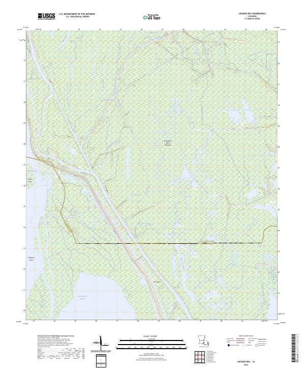
2024 Map of Jackass Bay
USGS Topo · Published 2024About this map
The Atchafalaya Basin Floodway dominates this landscape, where the shifting boundaries of St. Martin Parish and Iberia Parish intersect in a complex network of wetlands and waterways. The map documents a labyrinth of distributaries and backwaters, including the notably named Four Hundred Dollar Bayou and the winding Big Gonsoulin Bayou. Human presence is defined by structural constraints, specifically the Levee Rd which cuts a straight line through the swampy terrain to manage the flow of the basin.
Find a feature on this map
30 named features on this map. Tap any name to fly to it.
Don’t see what you’re looking for? This feature index may not catch every label — zoom into the map to look around manually.
Map Details
Editions of this 2024 Jackass Bay Map
This is the sole edition of this map. No revisions or reprints were ever made.
Other maps of this area

1935 · Chicot Lake
USGS Topo · 1:62,500

1937 · Jeanerette
USGS Topo · 1:62,500

1941 · Loreauville
USGS Topo · 1:62,500

1945 · New Orleans
USGS Topo · 1:250,000

1948 · Foster
USGS Topo · 1:62,500

1953 · Pigeon Bay
USGS Topo · 1:24,000

1954 · Chicot Lake
USGS Topo · 1:62,500

1954 · Loreauville
USGS Topo · 1:62,500

1954 · Jeanerette
USGS Topo · 1:62,500

1954 · Baton Rouge
USGS Topo · 1:250,000