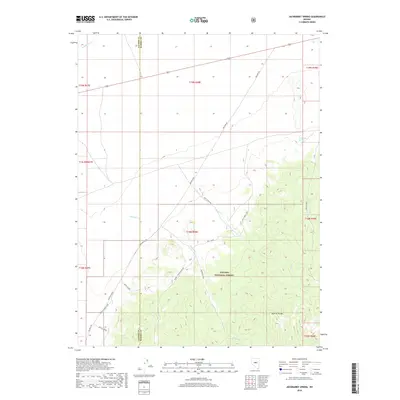
2018 Map of Jackrabbit Spring
USGS Topo · Published 2018About this map
Monitor Valley and the Monitor Range define this high-elevation landscape along the boundary of Lander and Eureka Counties. This 2018 survey documents a region dominated by the Toiyabe National Forest, where a network of primitive roads and bypasses, such as Kelly Ranch Rd and the Woods - Reynolds Bypass, navigate the drainage basins of Reynolds Cr and Kelly Cr.
Find a feature on this map
17 named features on this map. Tap any name to fly to it.
Don’t see what you’re looking for? This feature index may not catch every label — zoom into the map to look around manually.
Map Details
Editions of this 2018 Jackrabbit Spring Map
This is the sole edition of this map. No revisions or reprints were ever made.
Other maps of this area

1926 · Roberts Mountains
USGS Topo · 1:250,000

1929 · Roberts Mountains
USGS Topo · 1:250,000

1955 · Millett
USGS Topo · 1:250,000

1956 · Bartine Ranch
USGS Topo · 1:62,500

1956 · Antelope Peak
USGS Topo · 1:62,500

1956 · Ackerman Canyon
USGS Topo · 1:62,500

1959 · Millett
USGS Topo · 1:250,000

1960 · Hickison Summit
USGS Topo · 1:62,500

1978 · Summit Mountain
USGS Topo · 1:100,000

1979 · Simpson Park Mtns
USGS Topo · 1:100,000