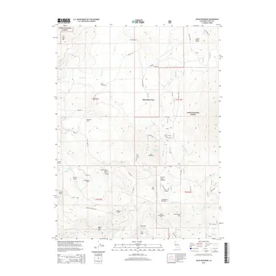
2015 Map of Jacks Backbone
USGS Topo · Published 2015About this map
Lassen National Forest terrain dominates this Shasta County survey, where the complex drainage systems of the southern Cascades are meticulously recorded. The landscape is defined by its volcanic geology and high-elevation basins, most notably the high ridge of Jacks Backbone and the water-filled depressions of Backbone Lake and Huckleberry Lake. Settlement is sparse, represented by small clearings like Whittington Place and Sheraton Flats.
Find a feature on this map
86 named features on this map. Tap any name to fly to it.
Don’t see what you’re looking for? This feature index may not catch every label — zoom into the map to look around manually.
Map Details
Editions of this 2015 Jacks Backbone Map
This is the sole edition of this map. No revisions or reprints were ever made.
Other maps of this area

1886 · Lassen Peak
USGS Topo · 1:250,000

1892 · Lassen Peak
USGS Topo · 1:250,000

1894 · Lassen Peak
USGS Topo · 1:250,000

1935 · Burney
USGS Topo · 1:96,000

1939 · Burney
USGS Topo · 1:125,000

1955 · Westwood
USGS Topo · 1:250,000

1956 · Manzanita Lake
USGS Topo · 1:62,500
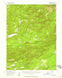
1956 · Whitmore
USGS Topo · 1:62,500
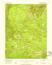
1956 · Montgomery Creek
USGS Topo · 1:62,500

1957 · Burney
USGS Topo · 1:62,500