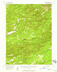
1956 Map of Whitmore
USGS Topo · Published 1958About this map
Whitmore and Inwood anchor this mid-century look at the eastern Shasta County foothills, where the landscape is defined by the steep canyons of Bear Creek and South Cow Creek. The map documents a transition from early industrial infrastructure to forest management, evidenced by the Kilarc Powerhouse and Kilarc Res alongside the Buckhorn Fire Control Sta and the extensive Ponderosa Way truck trail. Local genealogy is well-served by the inclusion of both the Bateman Cem and Inwood Cemetery, as well as the Inwood Sch and Mill Creek Sch.
Find a feature on this map
95 named features on this map. Tap any name to fly to it.
Don’t see what you’re looking for? This feature index may not catch every label — zoom into the map to look around manually.
Map Details
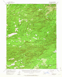
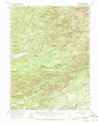
Editions of this 1956 Whitmore Map
3 editions found
Other maps of this area

1886 · Lassen Peak
USGS Topo · 1:250,000

1890 · Red Bluff
USGS Topo · 1:250,000

1892 · Lassen Peak
USGS Topo · 1:250,000

1894 · Lassen Peak
USGS Topo · 1:250,000

1894 · Red Bluff
USGS Topo · 1:250,000

1901 · Redding
USGS Topo · 1:125,000

1935 · Burney
USGS Topo · 1:96,000

1935 · Paynes Creek
USGS Topo · 1:96,000

1939 · Burney
USGS Topo · 1:125,000

1941 · Mineral
USGS Topo · 1:125,000