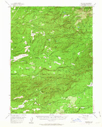
1956 Map of Whitmore
USGS Topo · Published 1963About this map
The small mountain community of Whitmore serves as a focal point for this mid-century survey of the California foothills, where the landscape is defined by the steep canyons of Clover Creek and Old Cow Creek. This era of the region’s development is characterized by the integration of hydroelectric infrastructure and timber interests, evidenced by the Kilarc Powerhouse and the extensive network of the Ponderosa Way. Farther south, the settlement of Inwood reveals a established rural life centered around the Inwood School and Inwood Cemetery. The map documents a rugged timber-and-ranching economy, where family-named landmarks like Witherow Ranch and isolated resources such as the abandoned Ritts Mill suggest a history of early industry that was already beginning to fade. Numerous springs and meadows, including Dersch Meadows and Coyote Flat, dot the higher elevations near the boundary of the Lassen National Forest.
Find a feature on this map
79 named features on this map. Tap any name to fly to it.
Don’t see what you’re looking for? This feature index may not catch every label — zoom into the map to look around manually.
Map Details
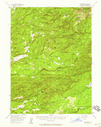
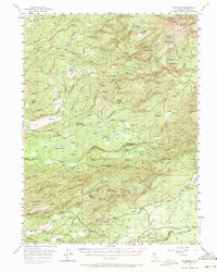
Editions of this 1956 Whitmore Map
3 editions found
Other maps of this area

1886 · Lassen Peak
USGS Topo · 1:250,000

1890 · Red Bluff
USGS Topo · 1:250,000

1892 · Lassen Peak
USGS Topo · 1:250,000

1894 · Lassen Peak
USGS Topo · 1:250,000

1894 · Red Bluff
USGS Topo · 1:250,000

1901 · Redding
USGS Topo · 1:125,000

1935 · Burney
USGS Topo · 1:96,000

1935 · Paynes Creek
USGS Topo · 1:96,000

1939 · Burney
USGS Topo · 1:125,000

1941 · Mineral
USGS Topo · 1:125,000